
First Flush Project - Fall 2008
First Flush Sites & Site Candidates
Meadowbrook Creek @ Sequim-Dungeness Way & Friendly Lane
Links to Images taken by date:
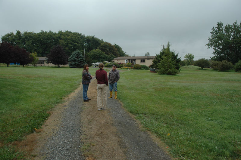
9/18/2008 recon with Hansi & Lori of ditches & Meadowbrook Creek NE of Sequim-Dungeness Ave
9/6/2008 recon at Meadowbrook Creek & Sequim-Dungeness Ave
8/30/2008 recon at Friendly Lane; ditch on both sides of Sequim-Dungeness Ave
Meadowbrook Creek / ditches
Table of Contents for sites visited on 9/18/2008
Stop A. Meadowbrook Creek at Cole's on Sequim-Dungeness Ave
Stop B. Parking spot between fields off of Friendly Lane
Stop C. Ditch west of field, west of Spot B
Stop D. Ditch D/S & south of Meadowbrook Creek
Stop E. Ditch before Meadowbrook Creek @ bridge
(ditch site selected for storm water project)
Stop F. Ditch before Meadowbrook Creek
Stop G. Meadowbrook Creek NE of bridge
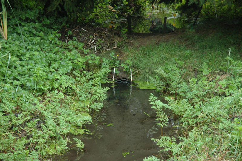
Stop H. Ditch before Meadowbrook Creek, best B-IBI site
Stop I. Meadowbrook Creek near NE corner of field
(Meadowbrook Creek site selected for storm water project)
Meadowbrook Creek at Cole's on Sequim-Dungeness Ave
48° 8'23.89"N 123° 7'21.20"W
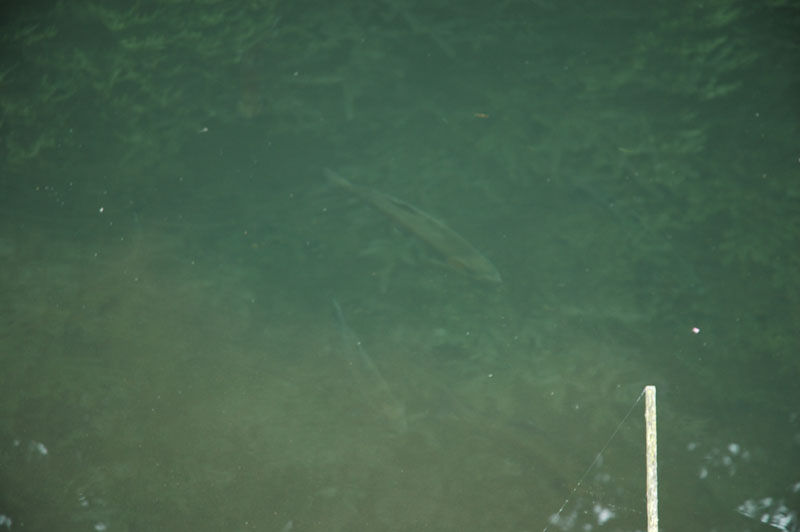
Stocked Steelhead in pond at Cole's
Part of Meadowbrook Creek, but screened from both U/S & D/S
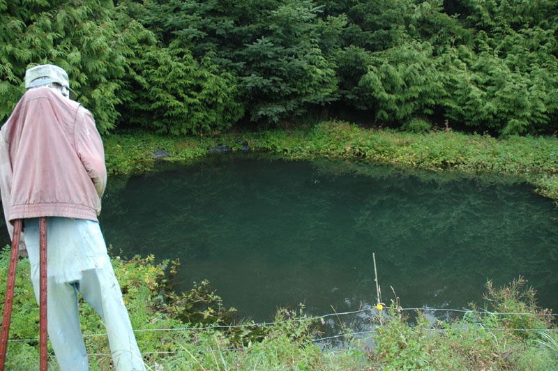
Pond at Cole's
From driveway, looking due north towards Meadowbrook Creek D/S of driveway
Meadowbrook Creek U/S of Cole's driveway
Fish screen visible in center of photo
Zoom of fish screen
Cole's home on Sequim-Dungeness Ave
Meadowbrook Creek D/S of Cole's driveway
Possible B-IBI site
Another view of Meadowbrook Creek D/S of Cole's driveway
Cole's address on Sequim-Dungeness Ave
Parking spot between fields off of Friendly Lane
N 48 08' 22.8 W 123 07' 00.1"
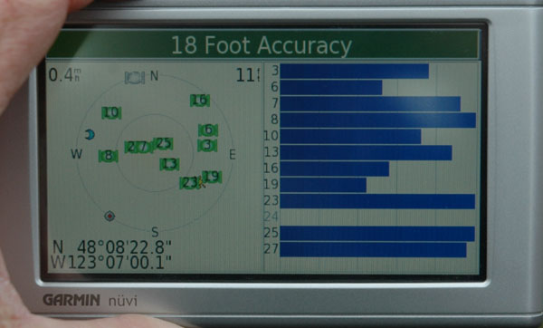
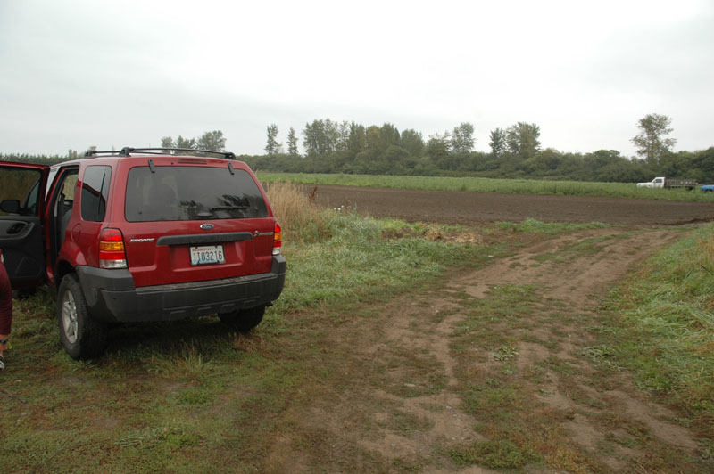
Photo of where we parked; looking NE. We cross the field to the left (not in photo).
Ditch west of field, west of Spot B
N 48 08' 23.1 W 123 07' 05.9"
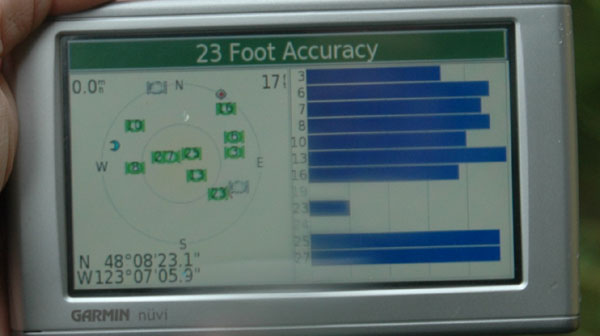
Ditch west of field, looking NW
Ditch
Looking west
Looking SE
Looking NE
Looking south
Looking E; at the tree line we hiked through
Looking NE; at the tree line we hiked through
Looking N
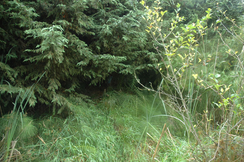
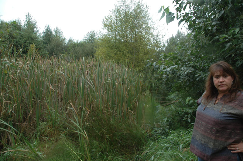
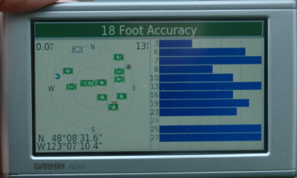
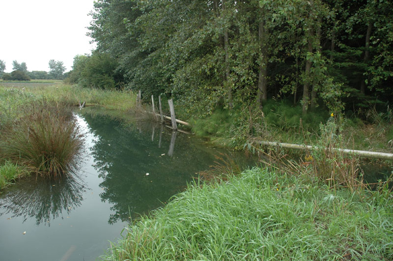
Ditch D/S & south of Meadowbrook Creek
N 48 08' 31.6 W 123 07' 10.4"
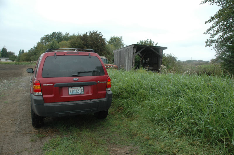
Parking spot near pump house
Looking E from parking spot
Plank foot bridge behind Hansi
Fuel tank for pump station on right
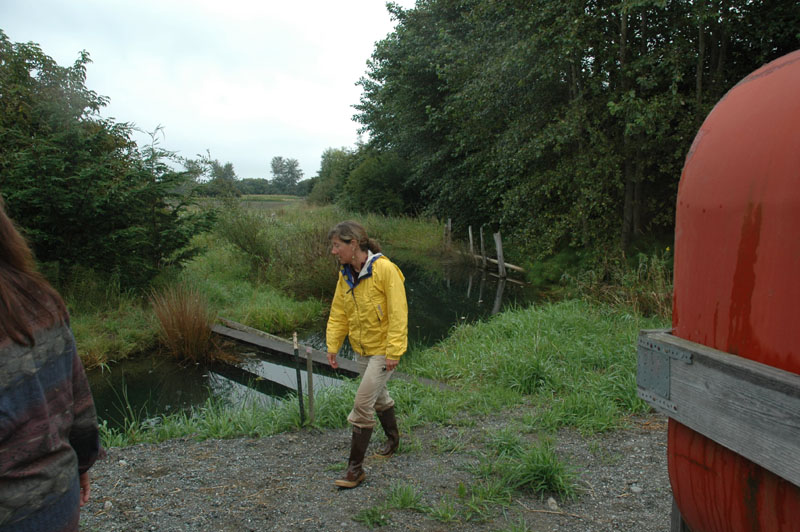
Ditch before Meadowbrook Creek @ bridge
N 48 08' 32.1 W 123 07' 09.9"
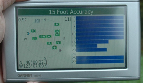
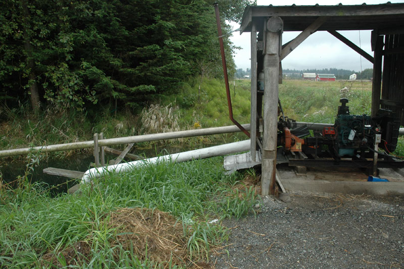
Pump station (same as in Stop D images)
Looking E from just SE of pump station
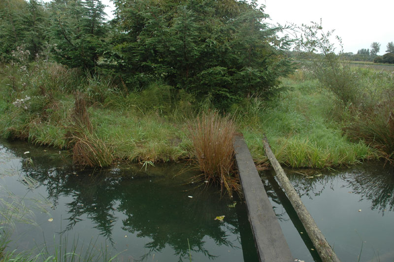
Plank foot bridge
Ditch looking NE from pump station
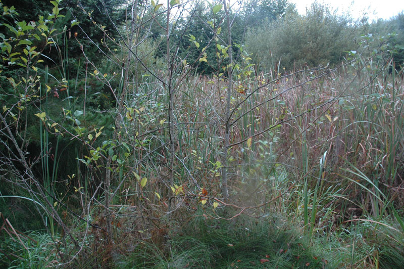
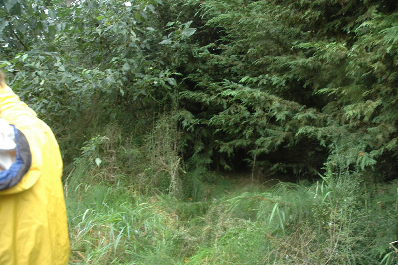
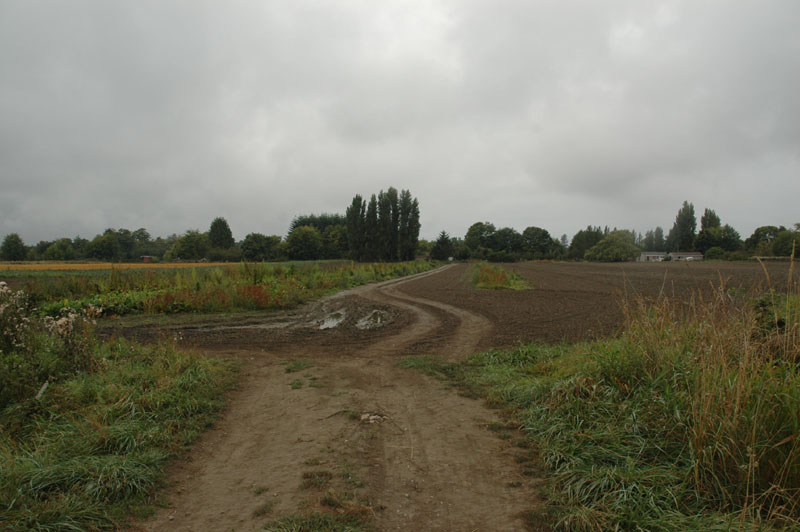
Ditch before Meadowbrook Creek
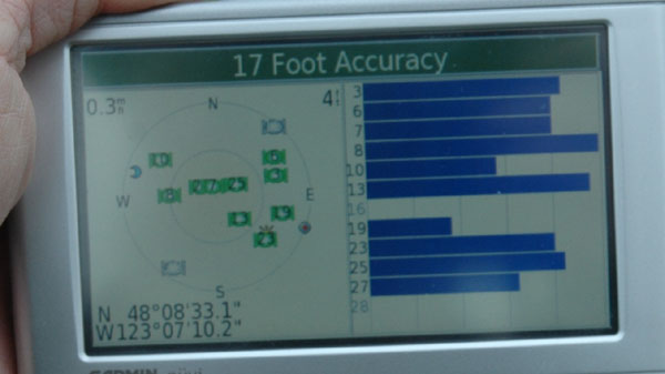
N 48 08' 33.1 W 123 07' 10.2"
Ditch south of farm road bridge crossing ditch, looking S
Ditch
Looking west
Looking N
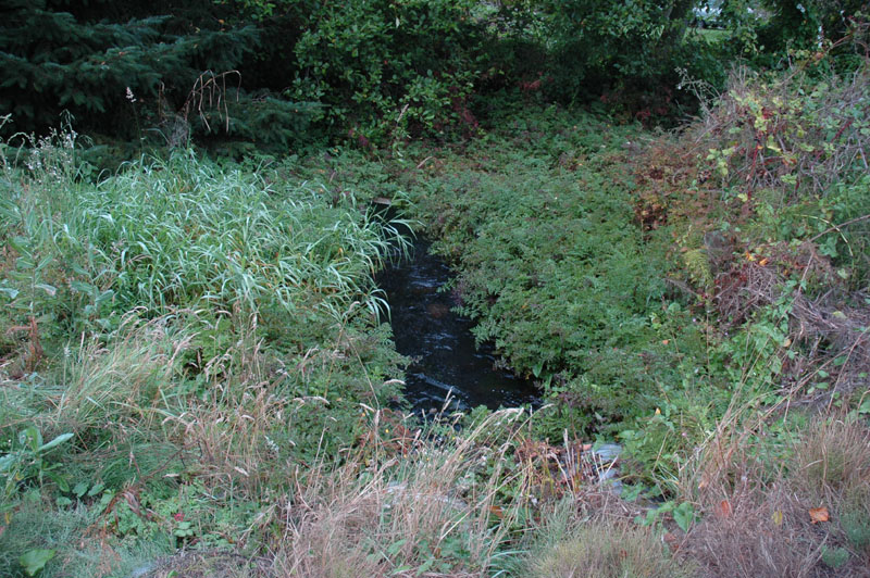
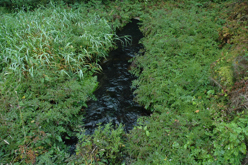
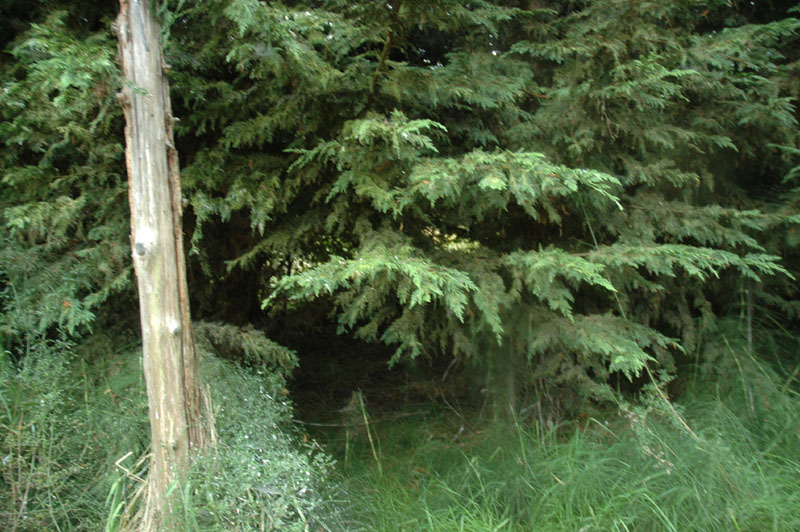
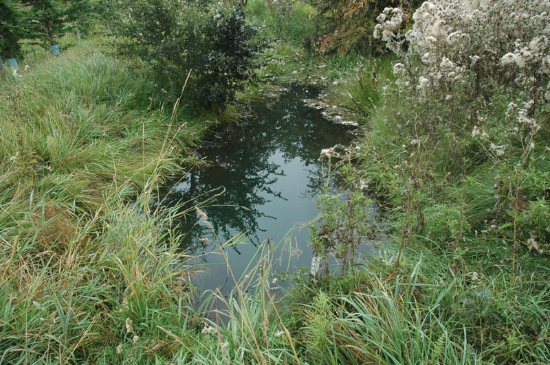
Meadowbrook Creek NE of bridge
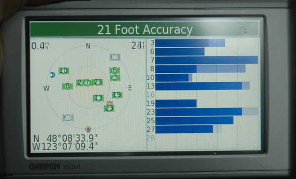
N 48 08' 33.9 W 123 07' 09.4"
Meadowbrook Creek
Meadowbrook Creek
Meadowbrook Creek
Meadowbrook Creek
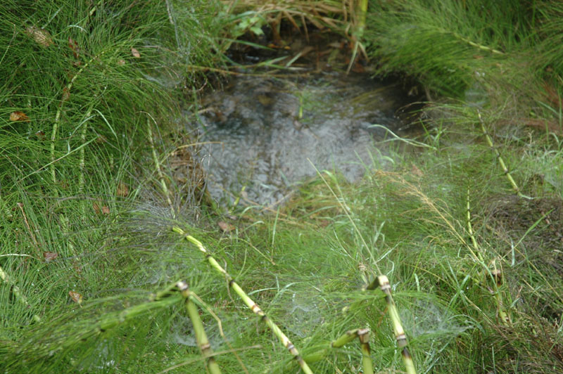
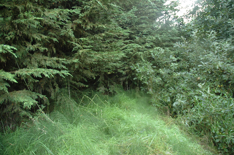
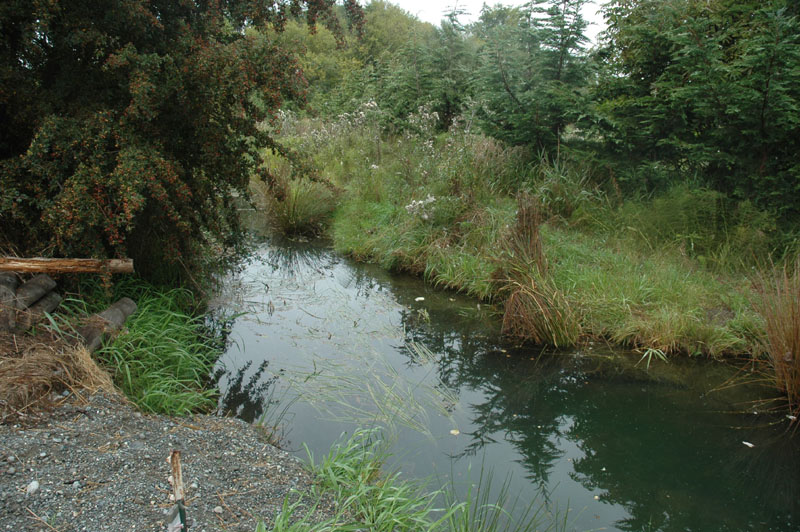
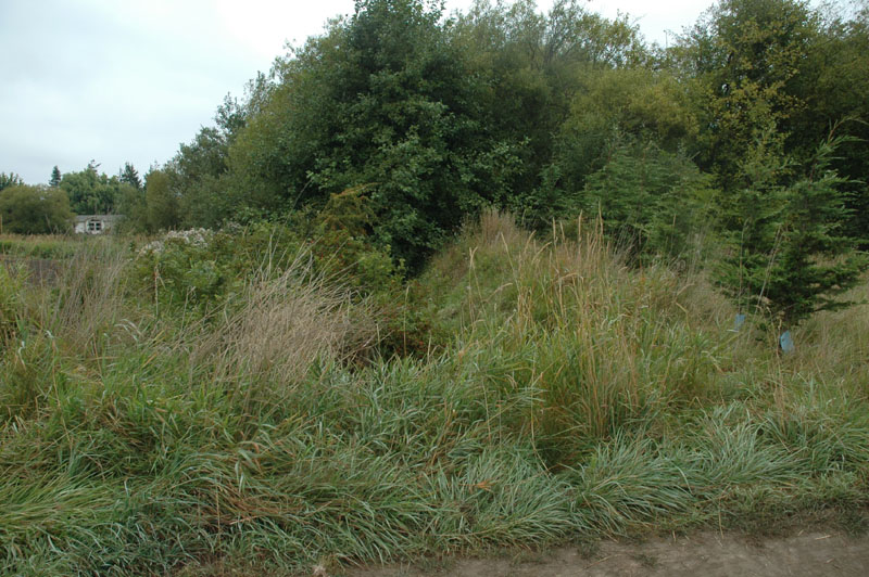
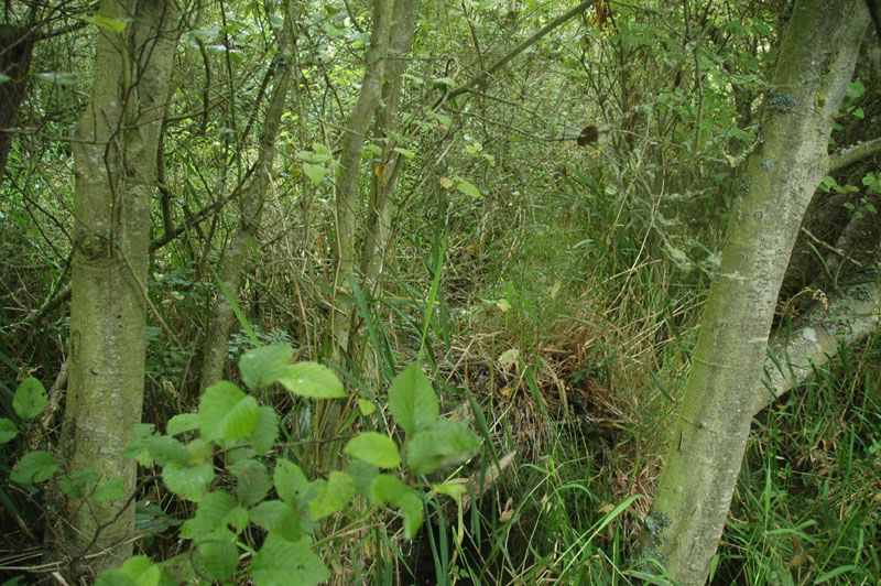
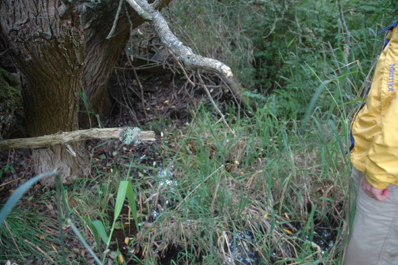
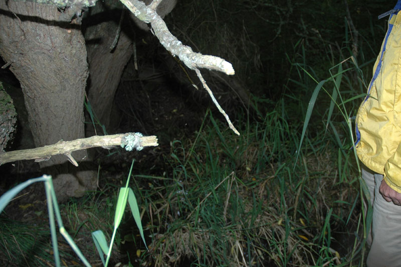
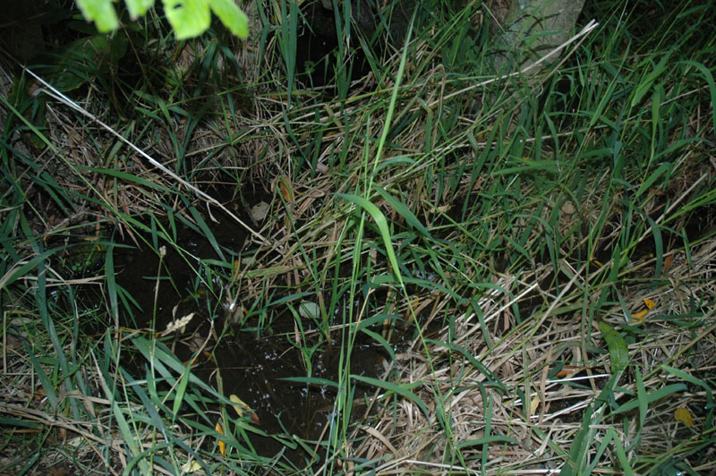
Ditch before Meadowbrook Creek, best B-IBI site
N 48 08' 33.6 W 123 07' 09.8"
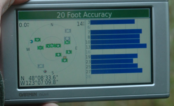
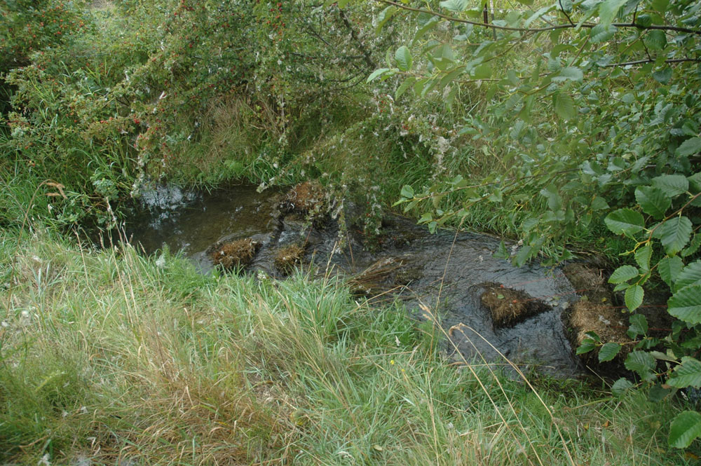
Ditch just north of farm bridge
Best B-IBI site on ditch
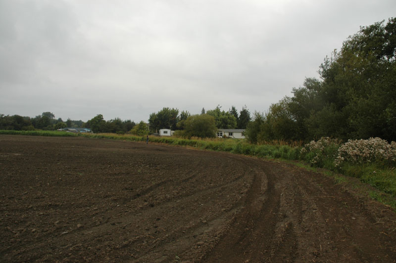
Looking north from just west of farm road bridge
Lori barely visible in image just to left of single-wide
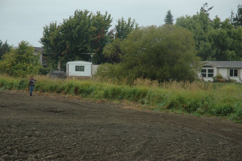
Zoom of above - note where Lori is standing
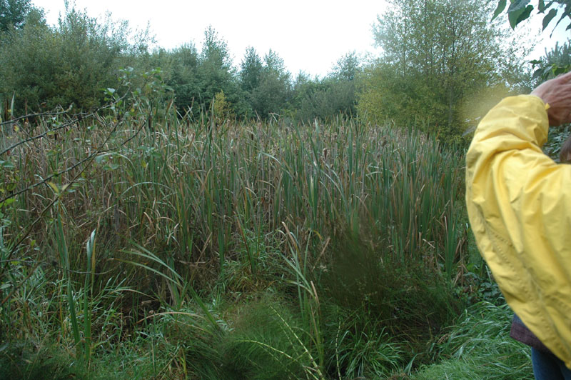
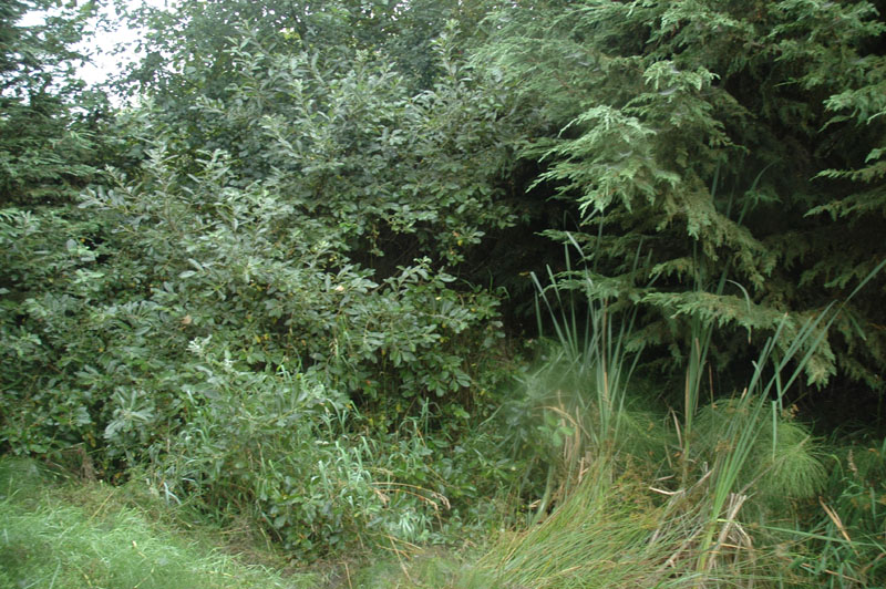
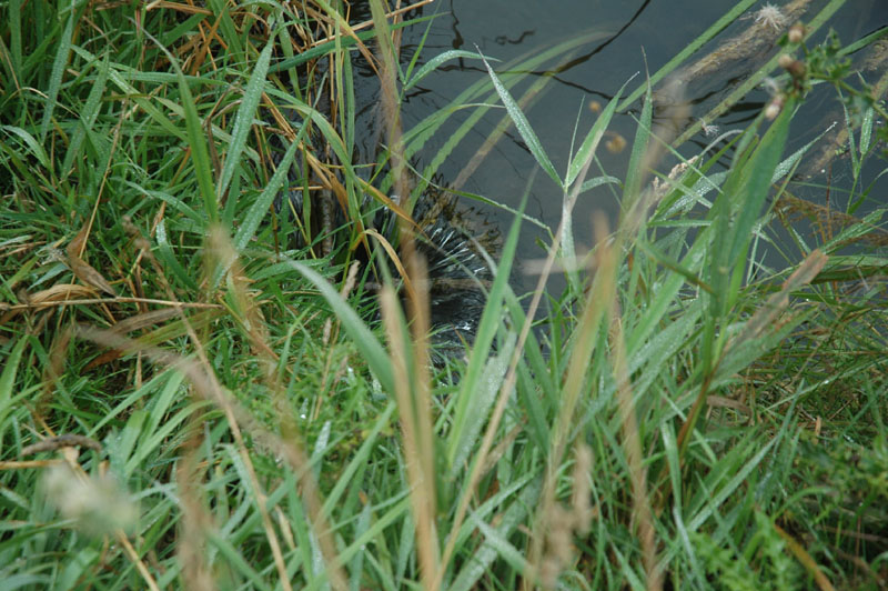
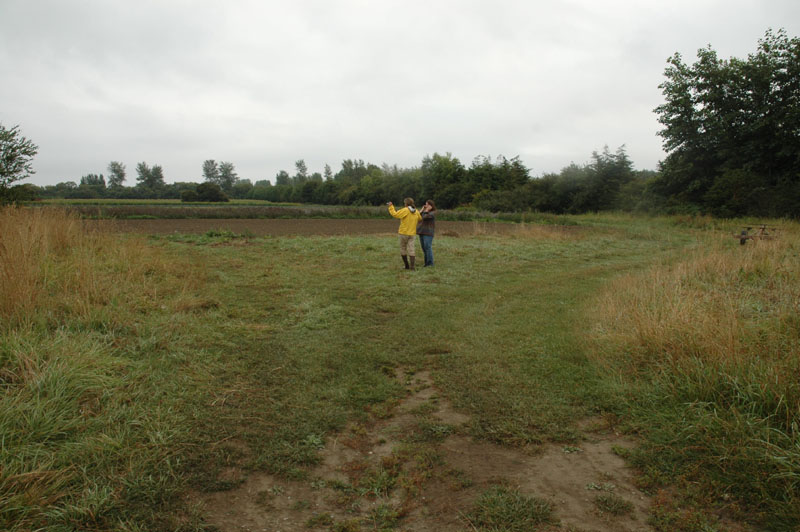
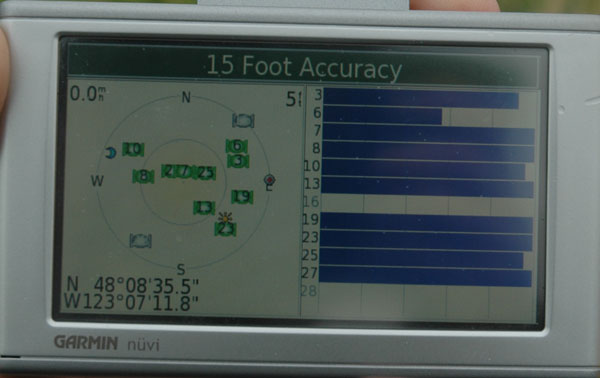
Meadowbrook Creek near NE corner of field
N 48 08' 35.5 W 123 07' 11.8"
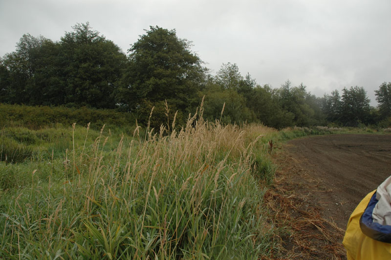
Meadowbrook Creek looking SE from Lori's position in photo above (Stop H)
Meadowbrook Creek looking E from Lori's position in photo above (Stop H)
Creek bed is near side of tree
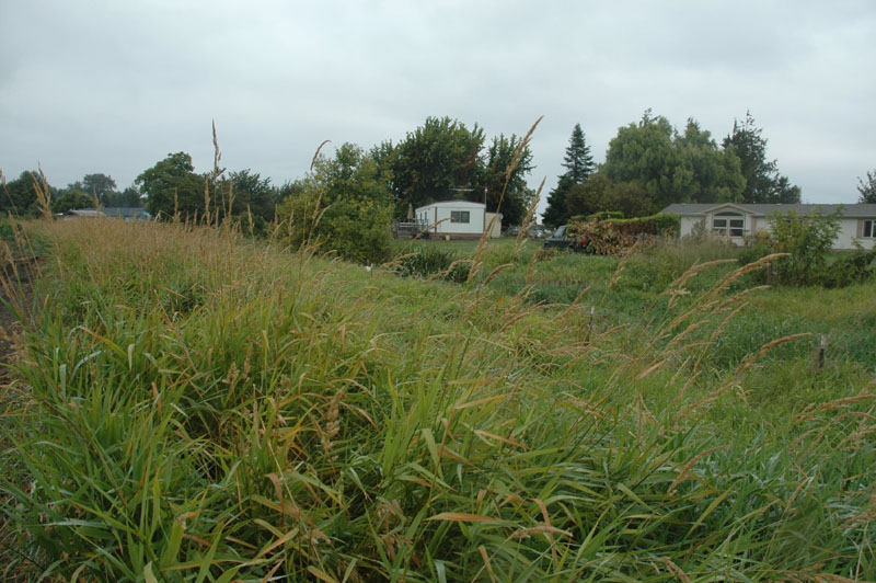
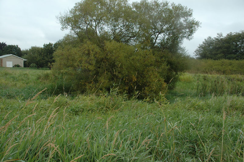
Meadowbrook Creek looking N
Meadowbrook Creek
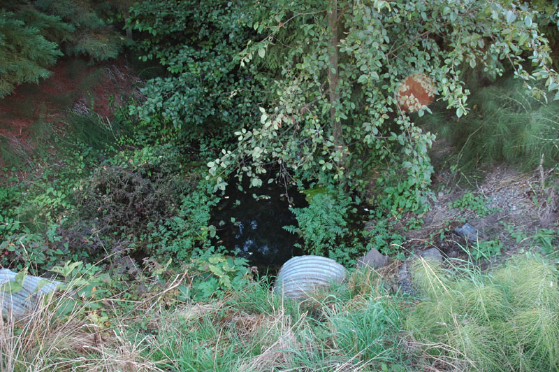
Image # 9437: Meadowbrook Creek, west of Sequim-Dungeness Way
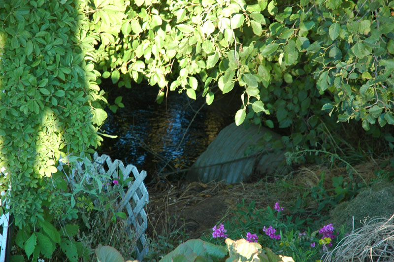
Image # 9445: Meadowbrook Creek, east of Sequim-Dungeness Way
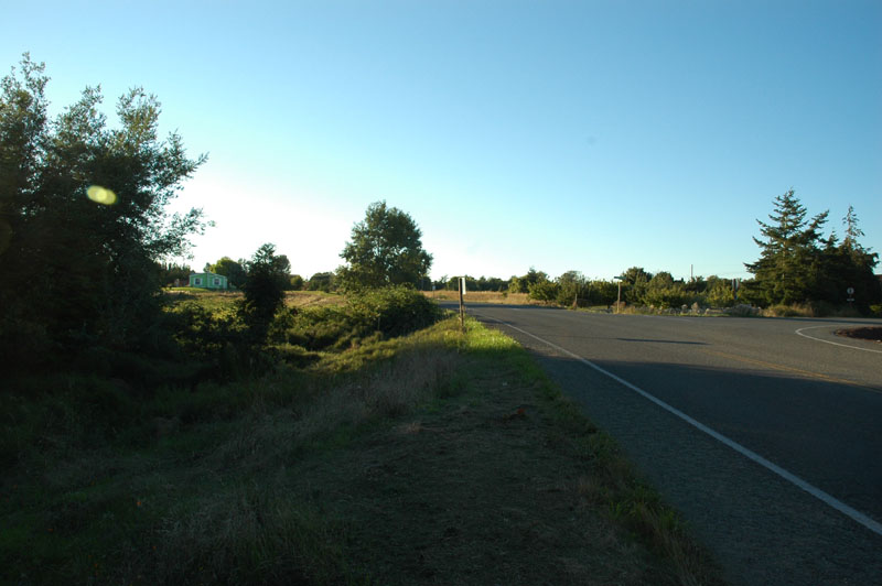
Image # 9438: Looking NW along Sequim-Dungeness Way from west end of culvert (road to 3 Crabs to the right)
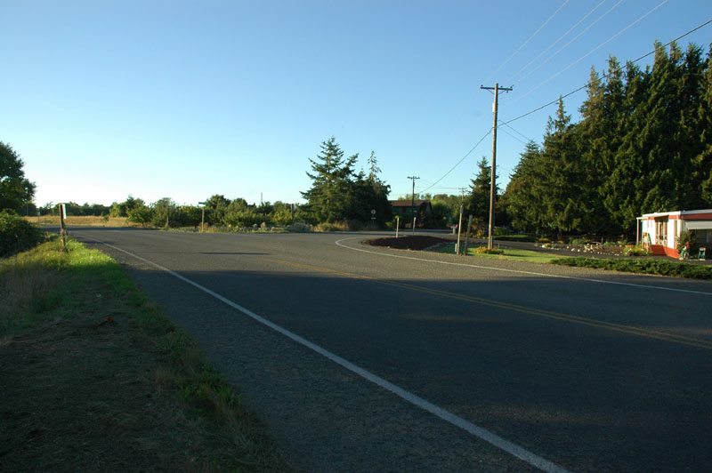
Image # 9439: Looking NW along Sequim-Dungeness Way from west end of culvert (road to 3 Crabs to the right)
[similar to photo above but includes partial view of home on east side of S-D Way]
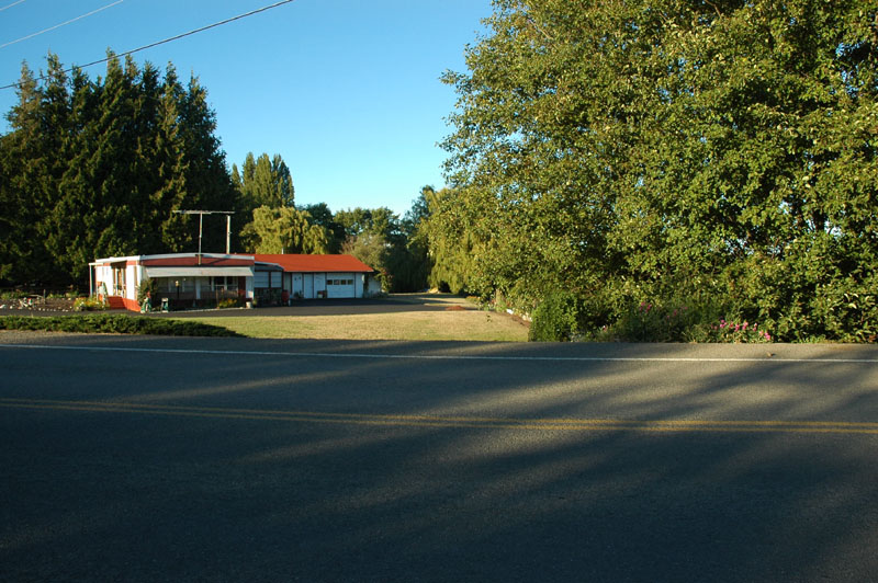
Image # 9440: Looking N across Sequim-Dungeness Way from west end of culvert
East end of culvert under tree on right of photo
view of home on east side of S-D Way
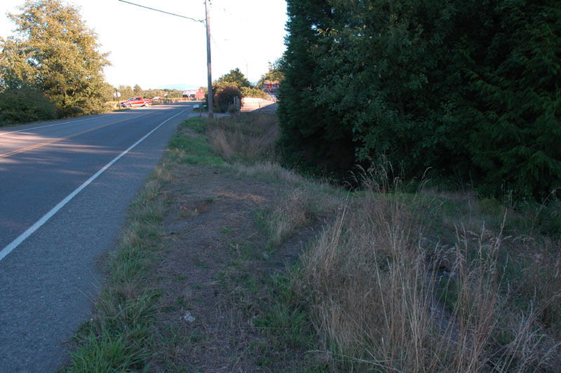
Image # 9442: Looking SE along Sequim-Dungeness Way
West end of culvert in center of photo just past wide section of shoulder.
Easy foot access to Meadowbrook Creek
Shoulder area is minimal for pulling off the road safely. OK for something like a Jeep, not OK for a large pickup (too small) or a standard car (lack of traction to get back onto S-D Way). Our red pickup is visible in background parked on Nash's service road.
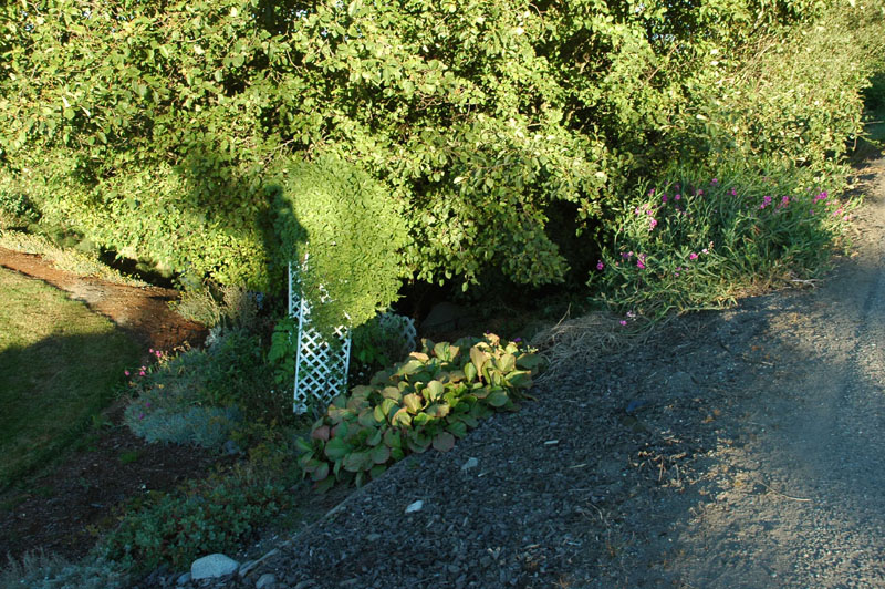
Image # 9443: Zoomed out photo of access to east end of culvert under S-D Way. Foot access possible, but poor.
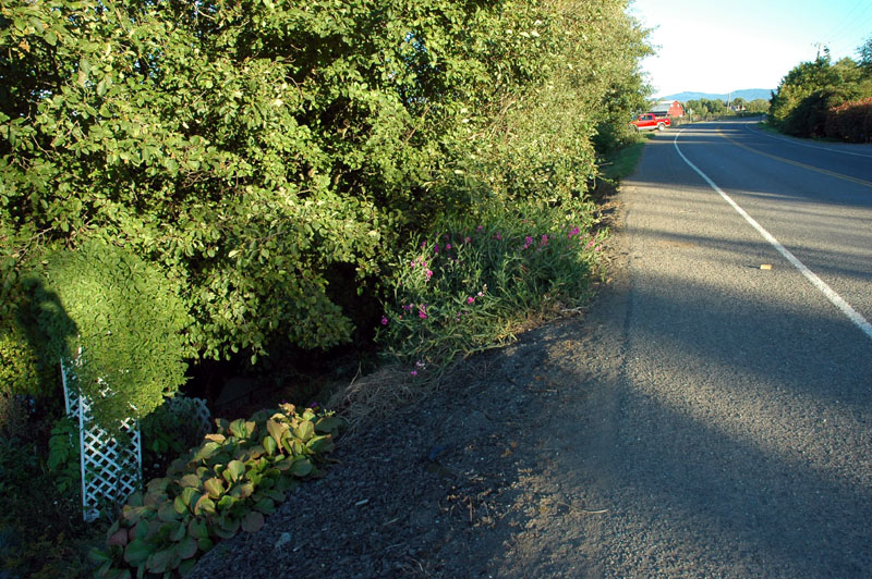
Image # 9444: East end of culvert and along S-D Way looking south. Shows narrow shoulder - too narrow to get a vehicle off S-D Way.
Our red pickup is visible in back ground on Nash service road
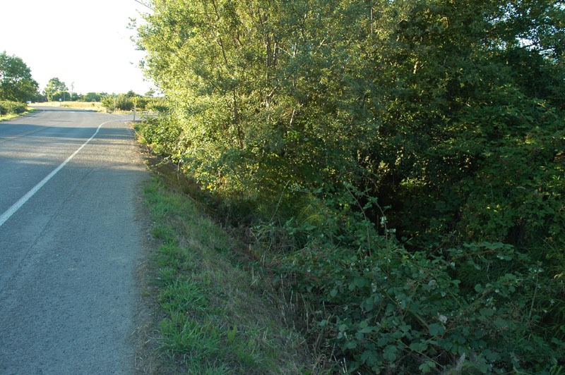
Image # 9446: East side of S-D Way, taken from south of Meadowbrook Creek looking back at tree over the east end of the culvert.
Fair access to ditch at this point.
Meadowbrook Creek / ditches [top of page]
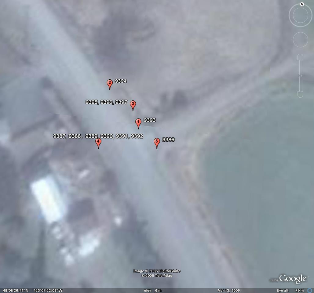
Index of images
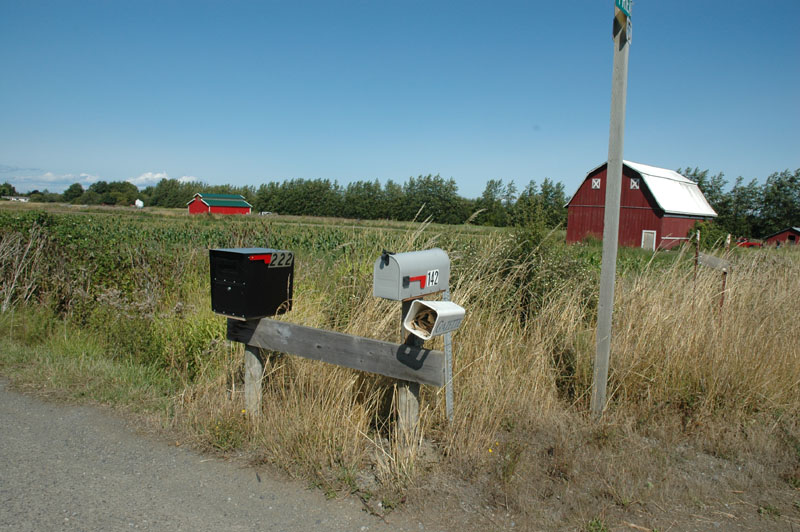
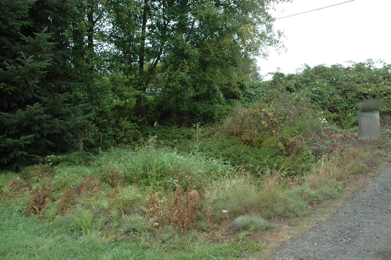
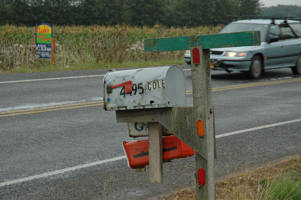
Image # 9393: Road sign & mail boxes at north side of Friendly Lane on Sequim-Dungeness Way
Ditch on far side of mail boxes
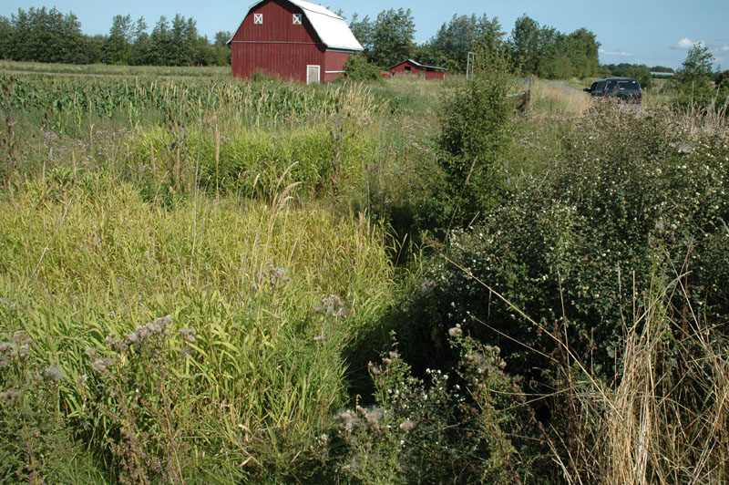
Image # 9394: Ditch along Sequim-Dungeness Way; ditch is just past light green grass to left of center, tall bush on far side of ditch
Looking east from Sequim-Dungeness Way
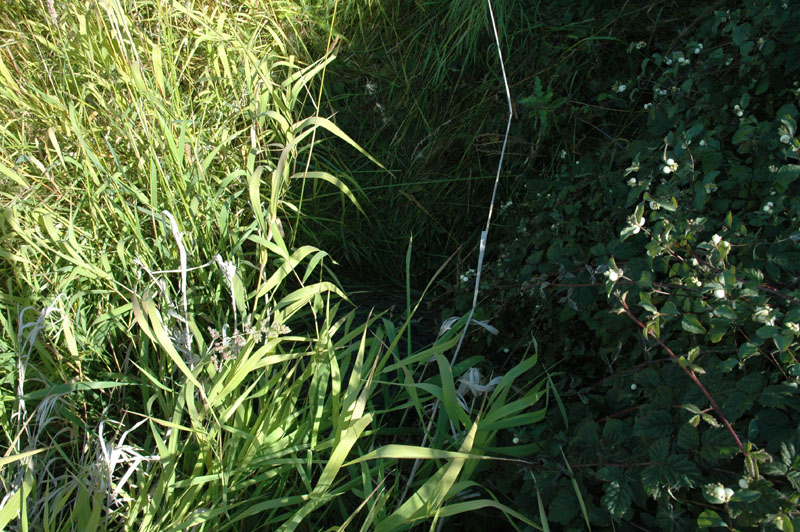
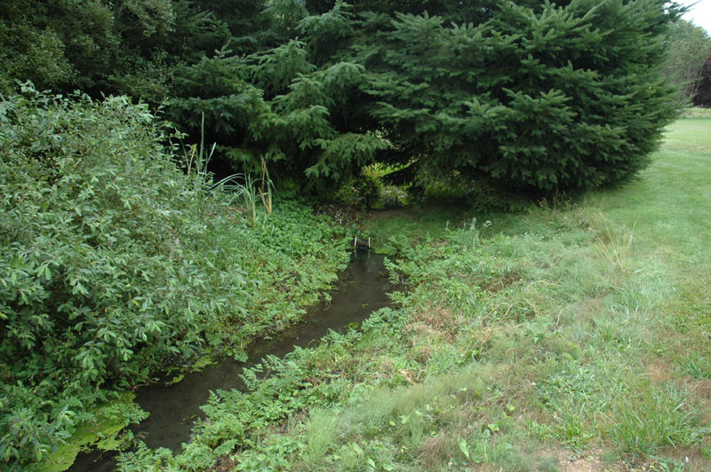
Image # 9395: Ditch just north of Friendly Lane
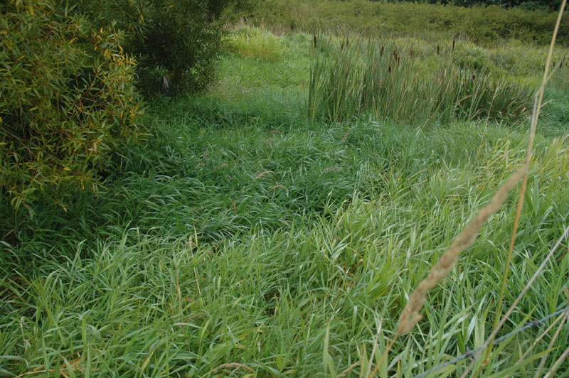
Overgrown with tall grass, considerable water in ditch flowing swiftly
Looking down with camera held out over ditch as much as possible
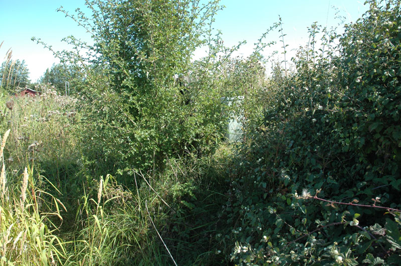
Image # 9396: Telephone box on east side of ditch, north of Friendly Lane
Looking east
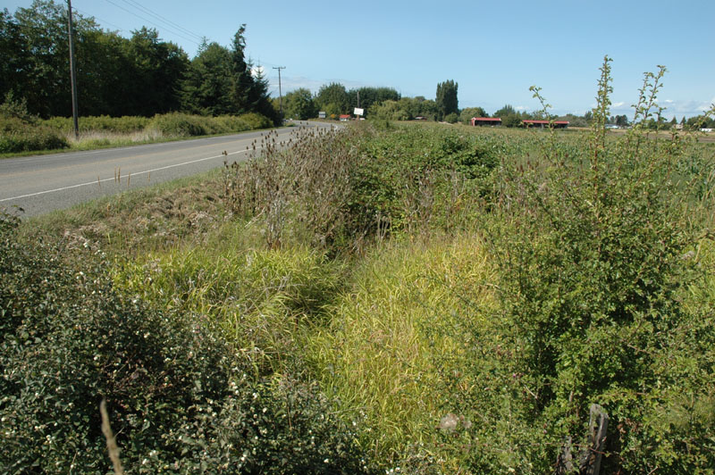
Image # 9397: Ditch along east side of Sequim-Dungeness Way
Looking north from north side of Friendly Lane
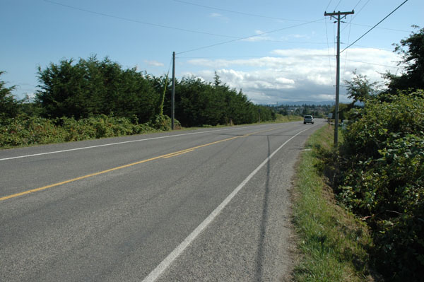
Image # 9389: West side of Sequim-Dungeness Way, looking south
Looks like a ditch to the right, but it isn't
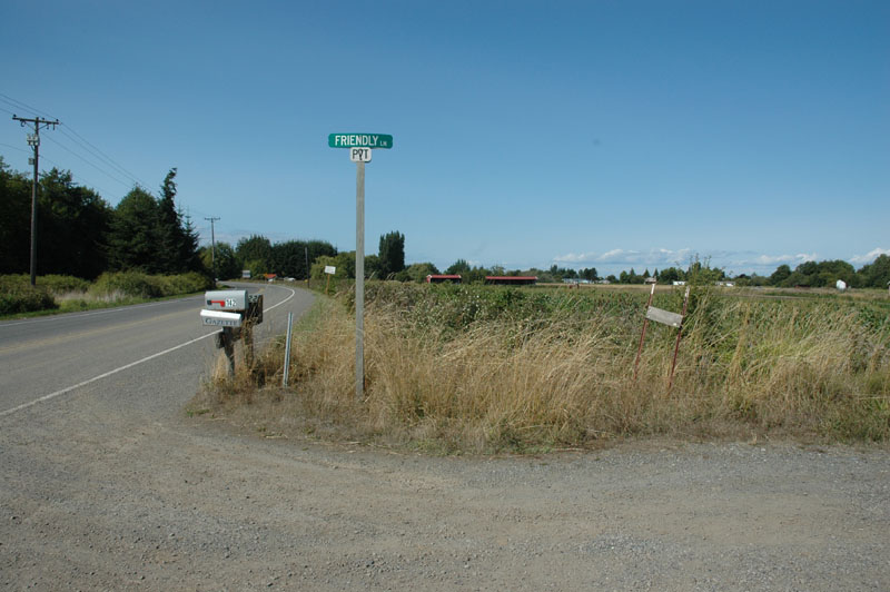
Image # 9386: Friendly Lane at Sequim-Dungeness Way
Looking north
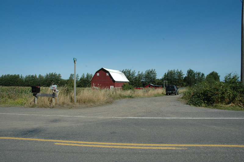
Image # 9387:
Friendly Lane at Sequim-Dungeness Way
Looking east
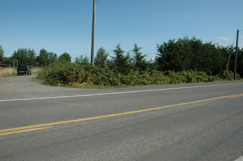
Image # 9388: Friendly Lane at Sequim-Dungeness Way & ditch south of Frendly Lane
Looking ESE
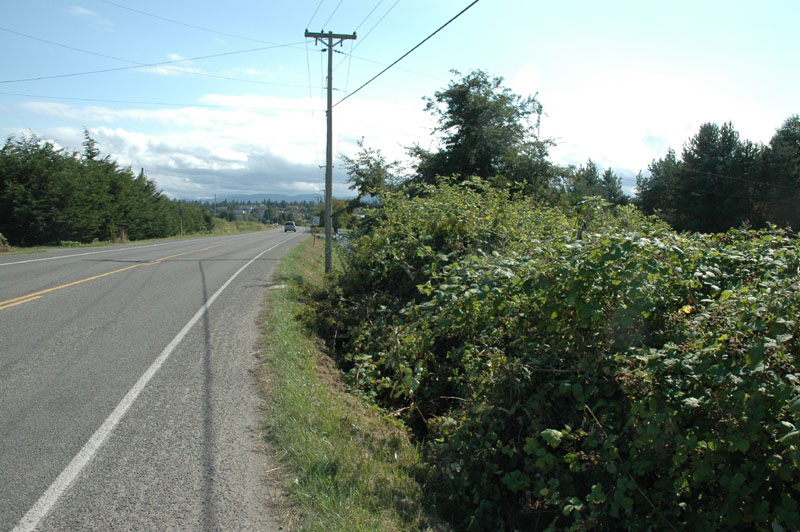
Image # 9390: West side of Sequim-Dungeness Way, looking south
Looks like a ditch to the right, but it isn't
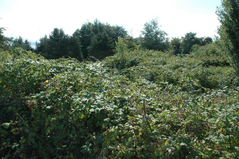
Image # 9391: West side of Sequim-Dungeness Way, looking west
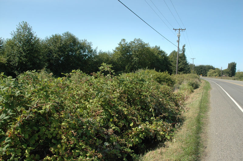
Image # 9392 West side of Sequim-Dungeness Way, looking north