
First Flush Project - Fall 2008
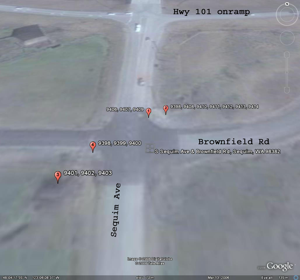
First Flush Sites & Site Candidates
Ditch @ Sequim Ave & Brownfield Road
Brownfield Ditch [top of page]
images taken 8/30/2008
Index of images
The ditch was dry on 8/30/2008

9398: Signage at SW corner; catch basin in left center of image
Looking NW

9400: Signage at SW corner; catch basin in center of image
Looking NW
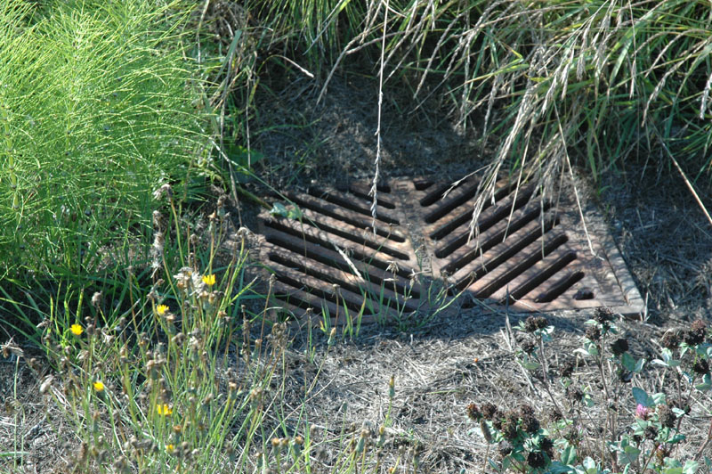
9399: Catch basin
Looking NW

9402: Looking east from ditch channel, SW of intersection.

9403: Looking north from ditch channel, SW of intersection.
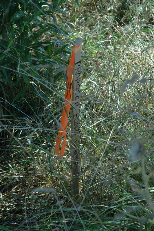
9401: Stake marking "Proposed Pond Corner"
Taken from ditch NW of intersection (same vantage point as 2 photos above)

9398: Ditch & field NE of intersection
Taken from ditch bed, looking north
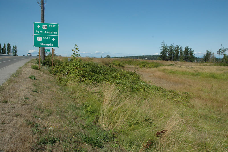
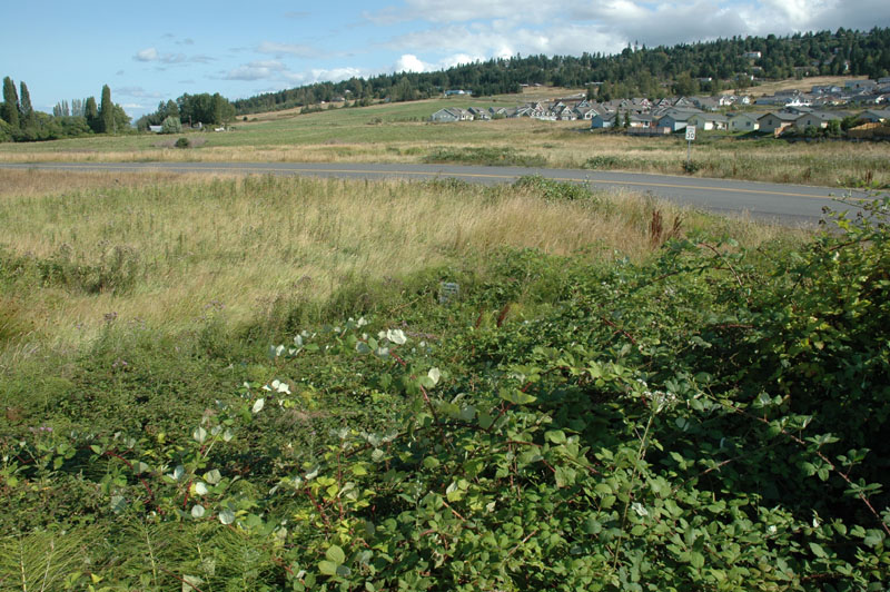
9409: Ditch & field NE of intersection, Hwy 101 onramp in background
Taken from South Sequim Ave, looking north

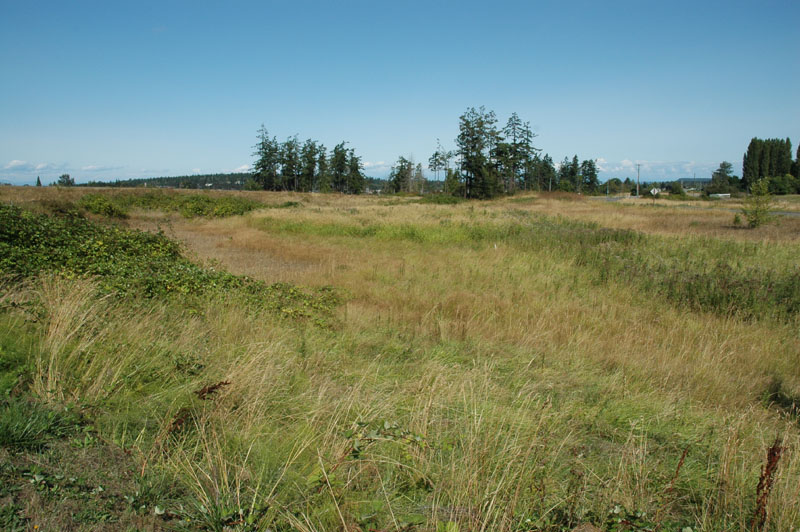
9413: Ditch & field NE of intersection
Taken from ditch bed, looking north

9414: Ditch & field NE of intersection
Taken from ditch bed, looking north
9408: Ditch & field NE of intersection, ditch growth visible
Taken from South Sequim Ave, looking north east
9406: Field NE of intersection; Warning Water pipe sign in center of image
Taken from Sequim Ave, north of Brownfield Rd

9407: Close-up of Warning Water pipe sign in center of image
Taken from Sequim Ave, north of Brownfield Rd
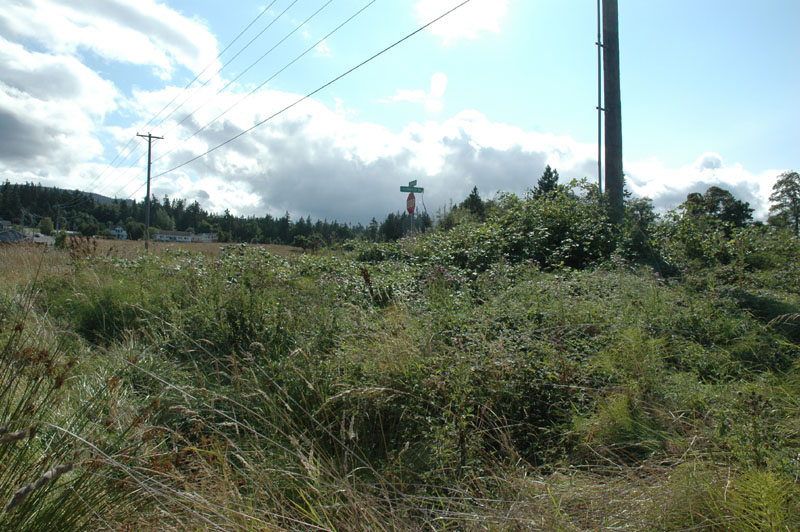
9411 Looking SW towards intersection from ditch

9412 Black berries at NE corner of intersection
Taken from ditch NE of intersection
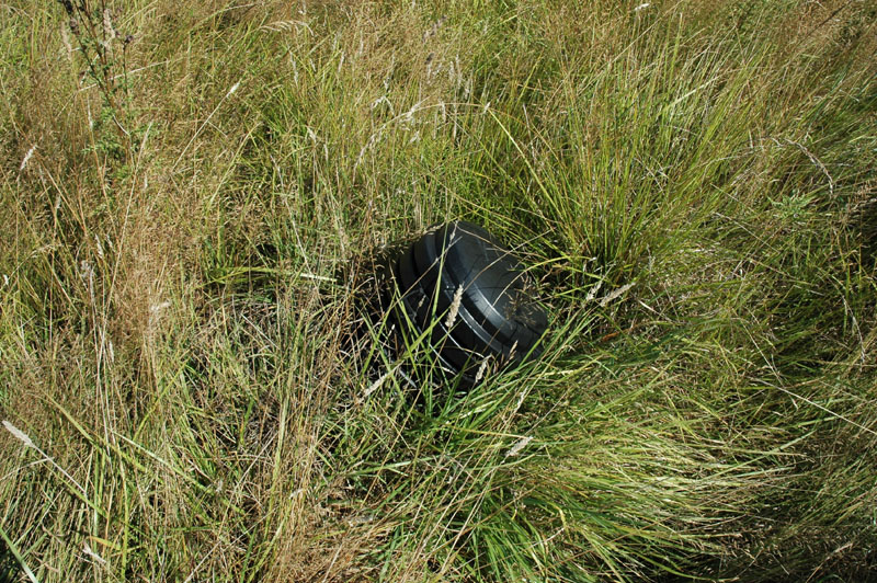
9410 Large 12-15" ABS pipe & cap slightly west of ditch C/L, NE of intersetion
Looking east