Bell Creek Site Recon
Candidate Site List - click on link to jump to specific site
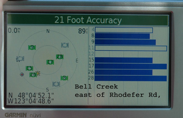
"A" - Down stream of Carrie Blake Park on east side of Rhodefer Rd
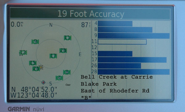
"B" - Down stream of Carrie Blake Park on east side of Rhodefer Rd
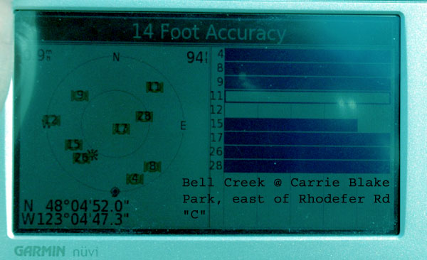
"C" - Down stream of Carrie Blake Park on east side of Rhodefer Rd
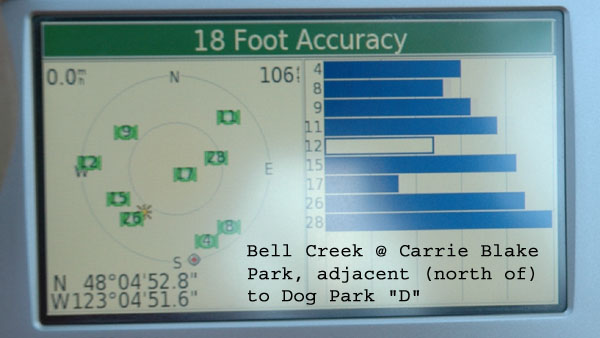
"D" - Carrie Blake Park, north (adjacent to) of Dog Park
"E" - Carrie Blake Park at foot bridge D/S of pond near Dog Park
"F" - East of Carrie Blake Park, west of Rhodefer Road at Bell Meadow
"G" - East of Carrie Blake Park, east of Rhodefer Road at Bell Meadow
"H" - East of Carrie Blake Park on Rhodefer Road
"I" - Carrie Blake Park at Foot Bridge near restrooms at NW corner of park
Candidate Sites:
"A" - Down stream of Carrie Blake Park on east side of Rhodefer Rd


Creek bed

Creek bed, looking south

Creek bank showing tree plantings

Looking NW towards Rhodefer
"B" - Down stream of Carrie Blake Park on east side of Rhodefer Rd

Creek bed

Looking NW towards Rhodefer
"C" - Down stream of Carrie Blake Park on east side of Rhodefer Rd

Creek bed & tree plantings, looking NW

Creek bed looking SW
"D" - Carrie Blake Park, north (adjacent to) of Dog Park

Creek & black berries. Dog park fence in background.
Possible B-IBI site, but difficult to photograph without cutting back blackberries
"E" - Carrie Blake Park at foot bridge D/S of pond near Dog Park
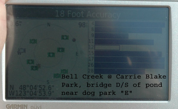

Creek bed, looking east from foot bridge

Foot bridge & dog park in background. Looking south

Creek bed U/S of foot bridge

Creek bed U/S of foot bridge
"F" - East of Carrie Blake Park, west of Rhodefer Road at Bell Meadow
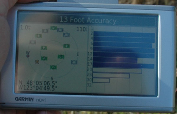 9/22/2008
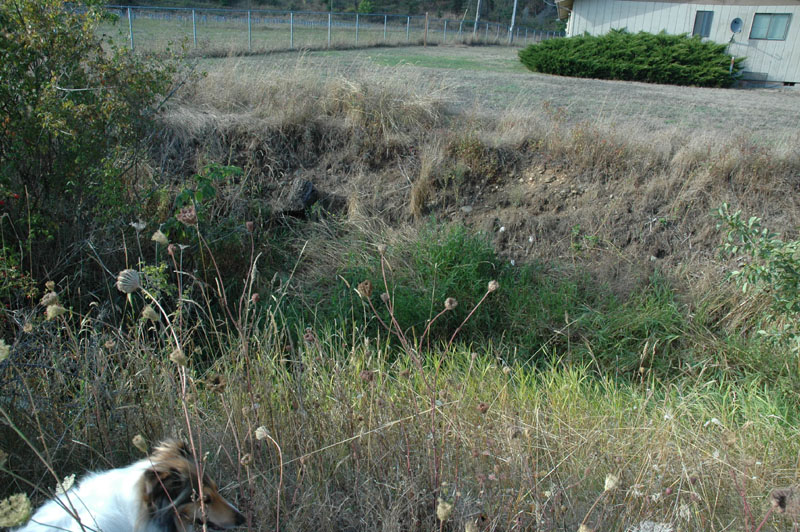
South of turn in creek, looking north
The ditch/creek runs north on the west side of Rhodefer Road, then turns at this point to the east, enters a culvert under Rhodefer Road, exits the culvert in Site "G"
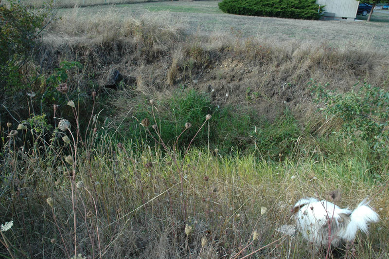
Similar to above photo but looking slightly more downward
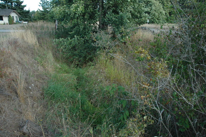
Taken from west of corner & looking east towards Rhodefer
Ditch/creek passes through a culvert under a gravel road to the right
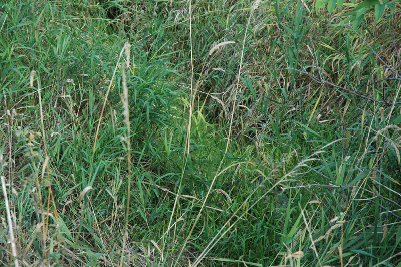
Zoom into grass
Some water standing
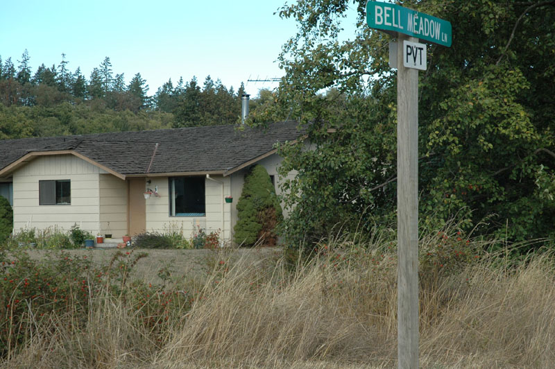
Looking easterly across Rhodefer to the other side of the culvert (Site "G")
"G" - East of Carrie Blake Park, east of Rhodefer Road at Bell Meadow
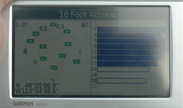 9/22/2008; 3:30 PM
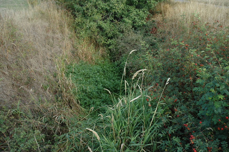
Looking down into creek from concrete over culvert
Water standing in creek bed
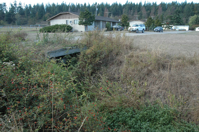
Looking back (westerly) at concrete vantage point of previous photo
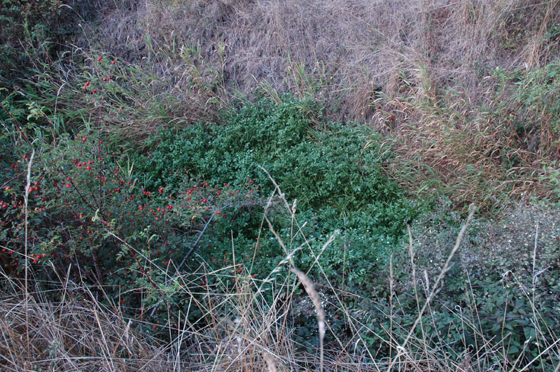
Creek bed viewed from south bank
"H" - East of Carrie Blake Park on Rhodefer Road
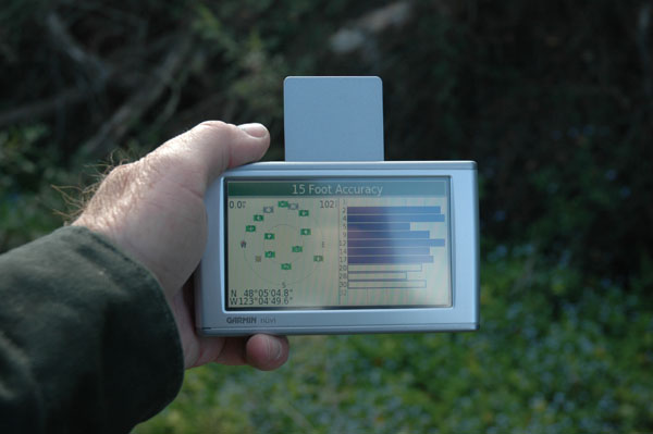 9/22/2008; 3:30 PM
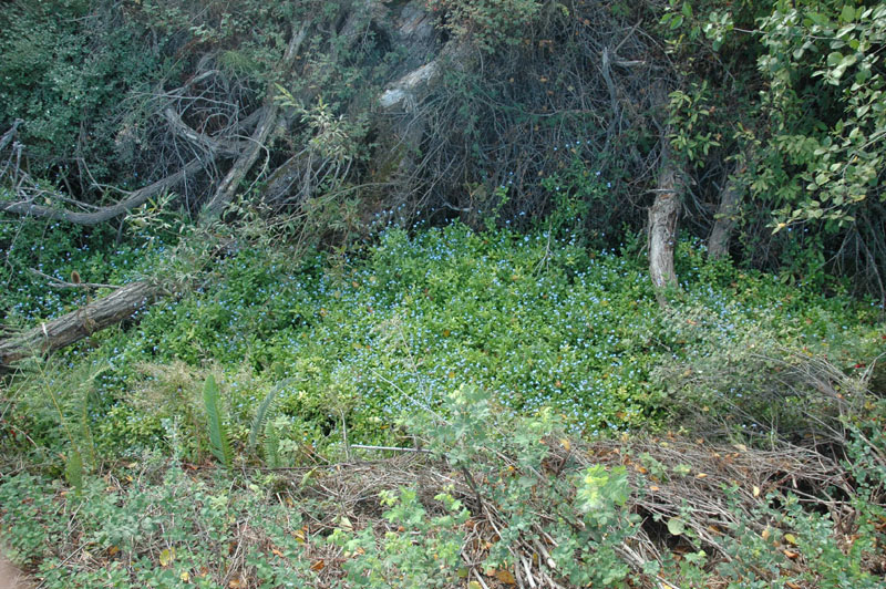
Looking down into creek/ditch from east bank along Rhodefer Rd
Water standing under vegetation
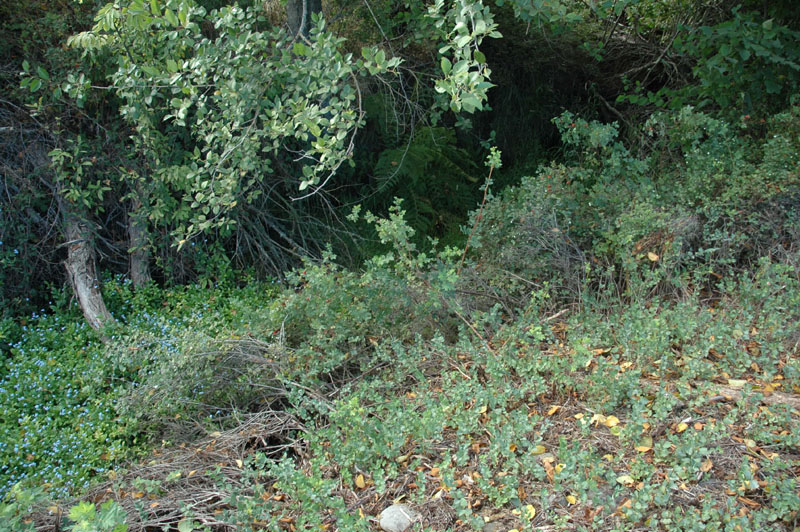
Similar to above photo, but turned slightly right (north)
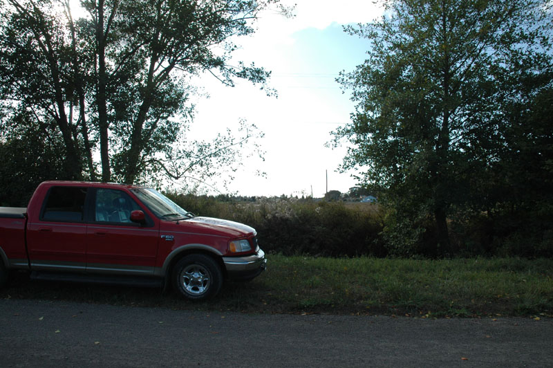
View of vantage point of above photos from east side of Rhodefer Rd
Truck is parked on west side of Rhodefer, headed north
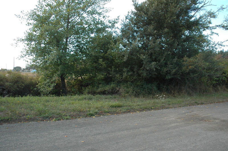
Similar to image above, but turned slightly right (north)
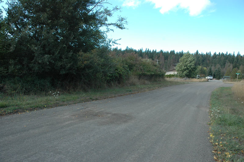
Similar to above photo but turned further to view Rhodefer Rd
"I" - East of Carrie Blake Park on Rhodefer Road
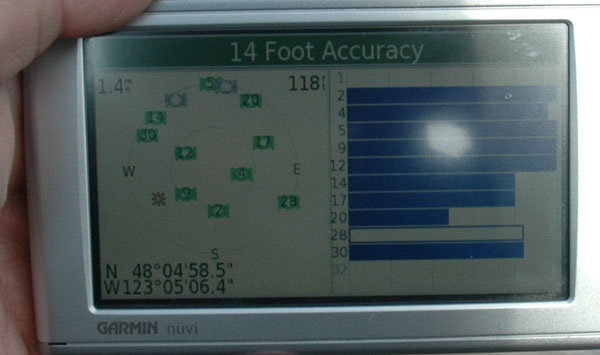 9/22/2008; 3:30 PM
Note: Water standing in creek & almost deep enough to flow to/from fish pond. Water puddles in the river rock at the north end of the foot bridge at the fish pond but not deep enough to actually flow.
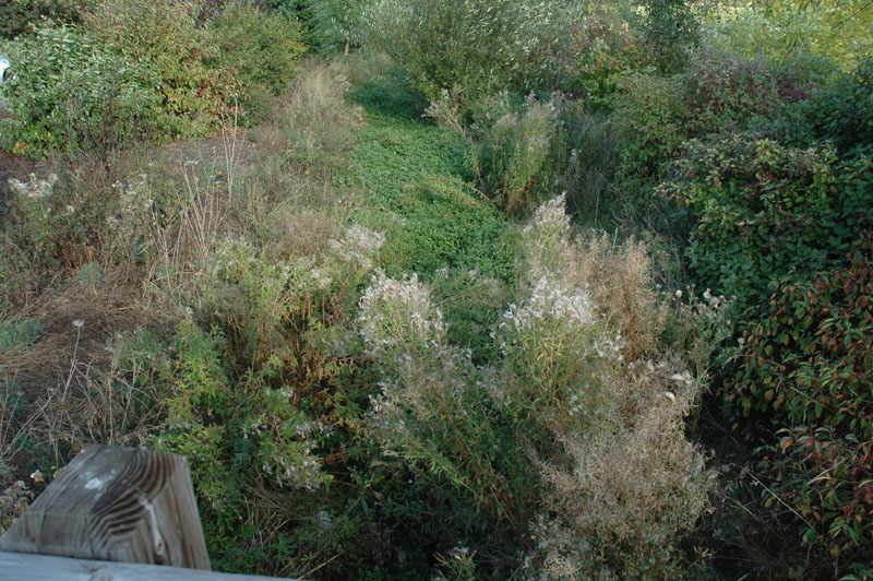
Looking down in to creek from east side of foot bridge
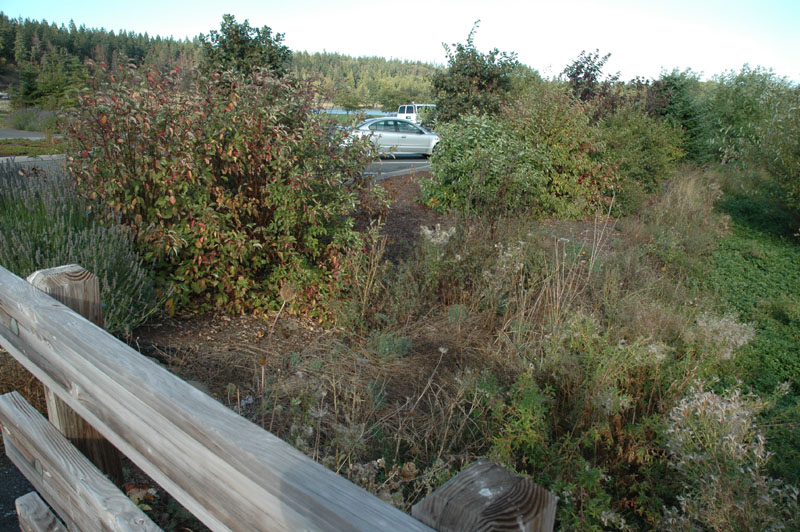
Looking down in to creek from east side of foot bridge, similar to above photo but showing parking lot between foot bridge and fish pond
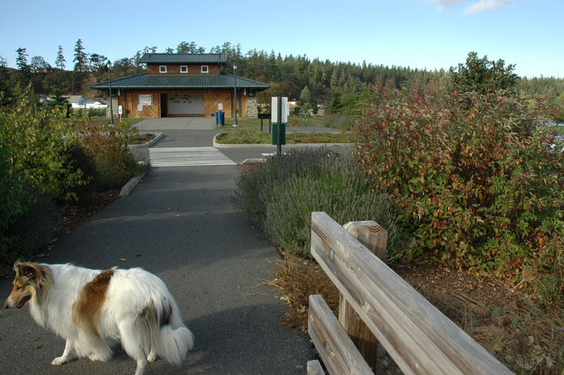
Looking north from foot bridge towards restrooms
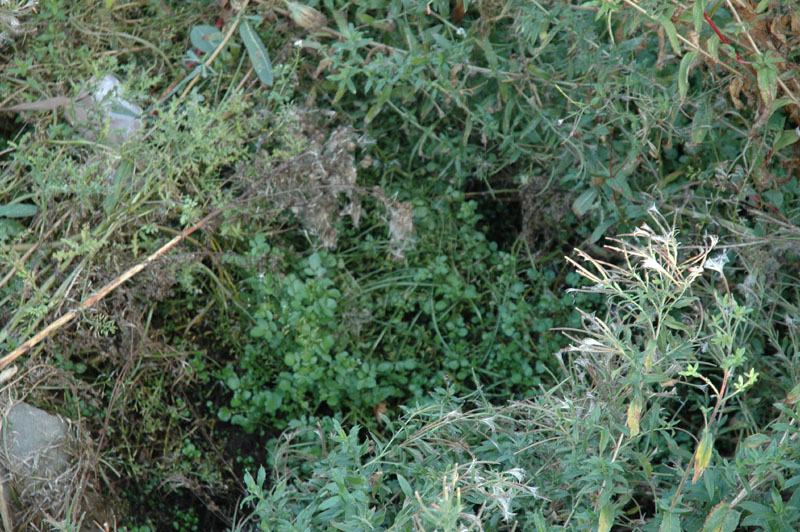
Looking down into creek from west side of foot bridge
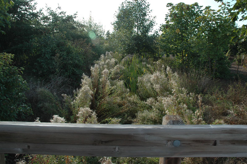
View of vegetagion in creek on west side of foot bridge
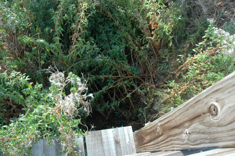
Looking straight down into creek from west side of foot bridge
Water standing in creek