"The Top of the World Highway", Taylor Highway &
Alaska Highway
Dawson City, Yukon to Eagle &
Fairbanks, Alaska
July 19th to July 26th
| Day # | Date | Description | Link |
| 43 | July 19th | Dawson City to Eagle, Alaska via "The Top of the World" & Taylor Highways |
|
| 44 | July 20th | Eagle to Walker Fork BLM Campground |
|
| 45 | July 21st | Walker Fork BLM Campground to Moon Lake SRA |
|
| 46 | July 22nd | Moon Lake SRA |
|
| 47 | July 23rd | Moon Lake SRA to Clearwater SRA |
|
| 48 | July 24th | Clearwater SRA to North Pole, Alaska |
|
| 49 | July 25th | North Pole, Alaska | |
| 50 | July 26th | North Pole, Alaska |
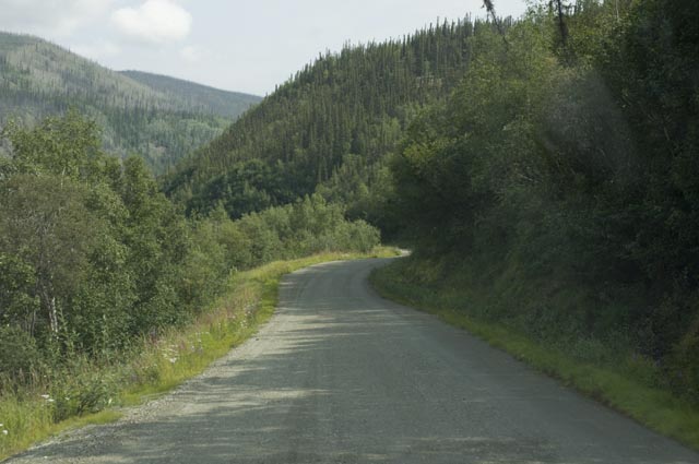
July 19th - Dawson City to Eagle, Alaska via "The Top of the World" & Taylor Highways [top of page]
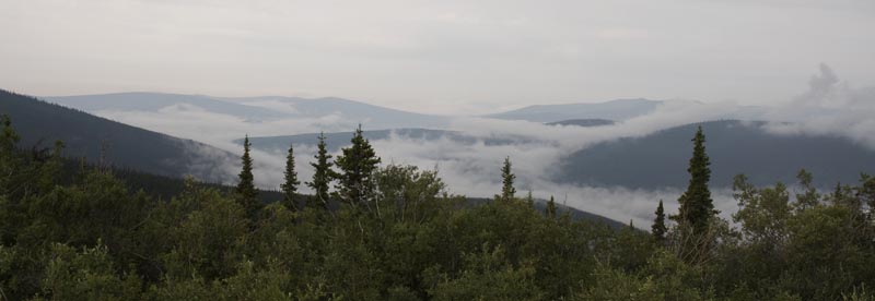
The vistas this morning are shrouded in fog. Oh well.
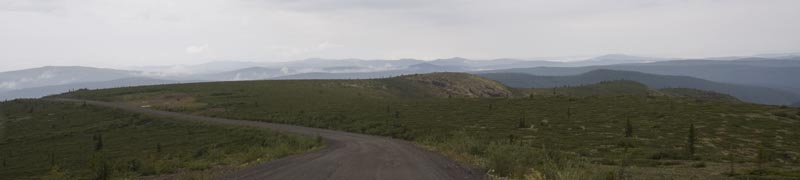
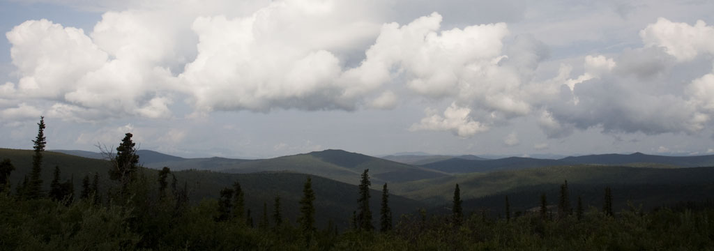
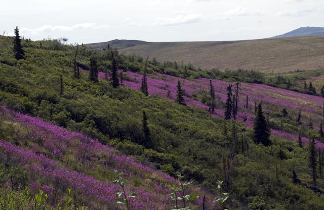
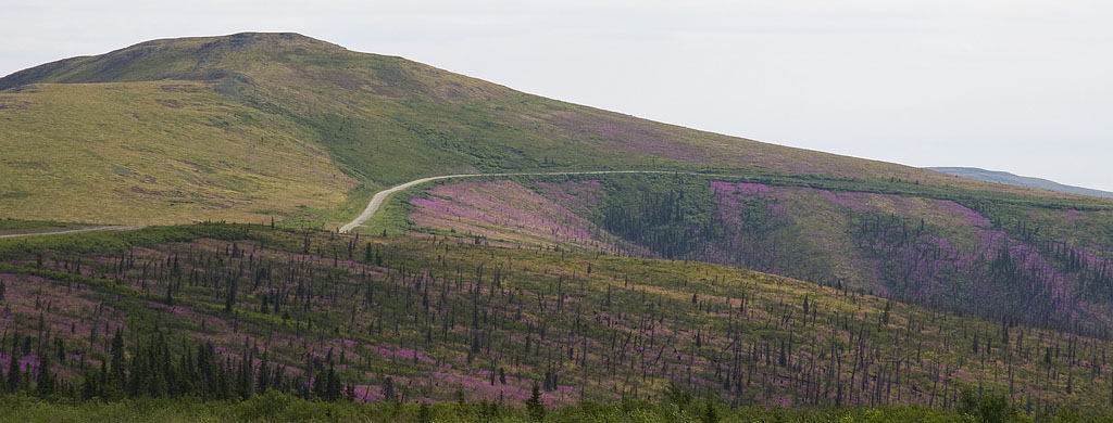
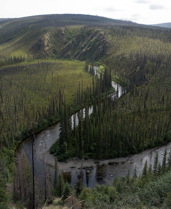
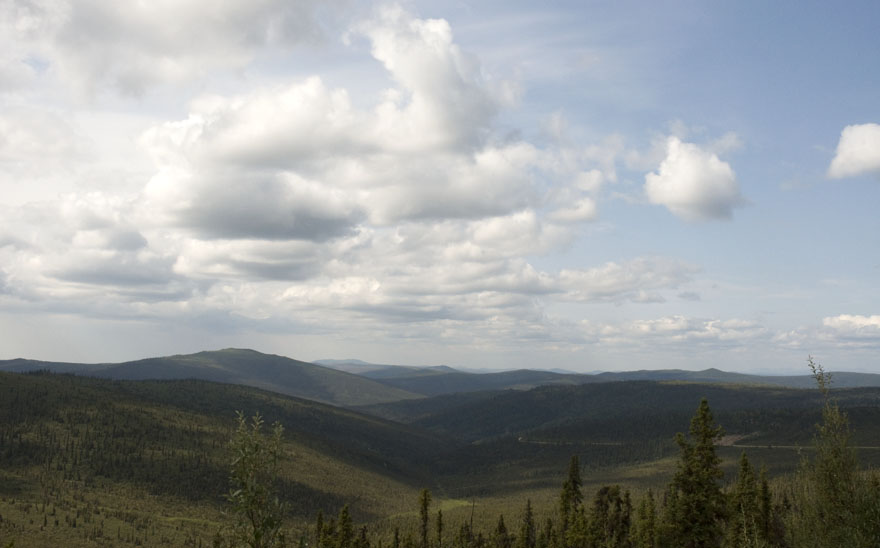
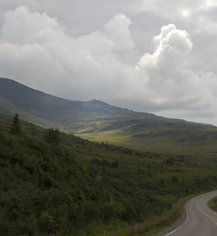
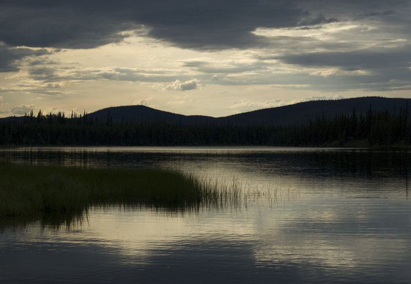
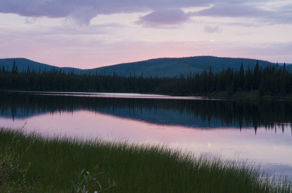
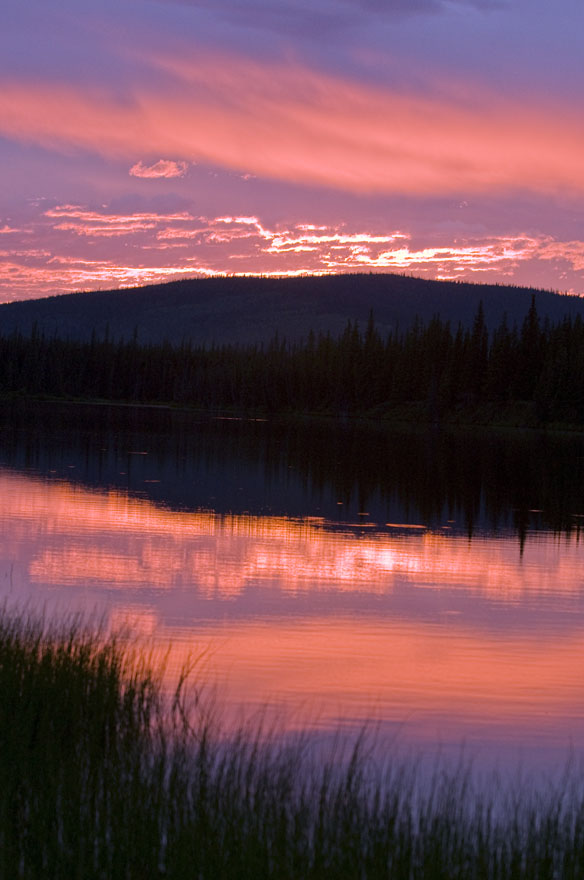
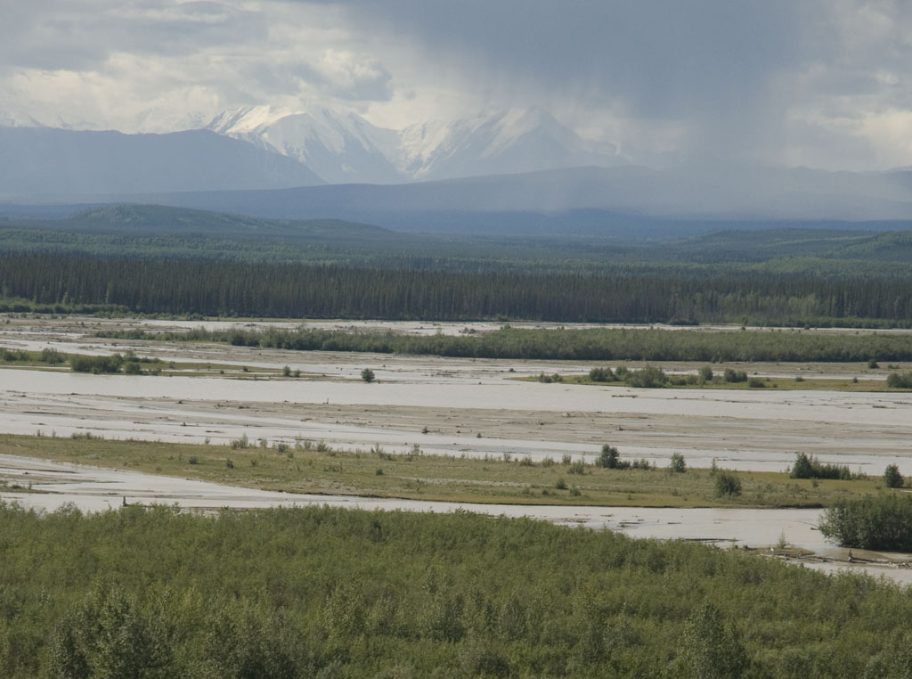
The fog has mostly subsided, but it's still hazy. This image shows how the "Top of the World Highway" gets its name by running along the top of the mountain ridge instead of the usual down in the valley.
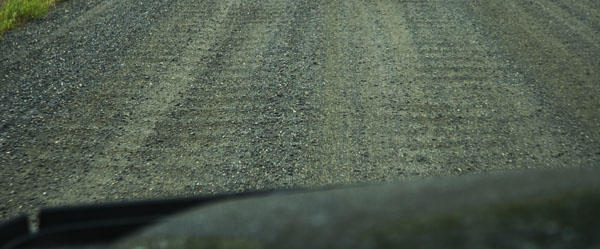
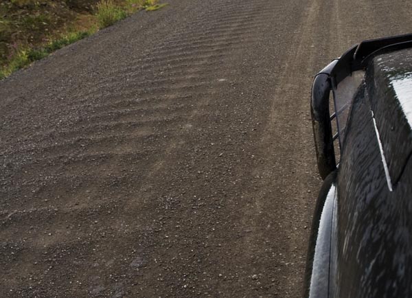
The three photos above show the wash board road. Think of it as little speed bumps for as far as the eye can see. Small but forever is a long way.
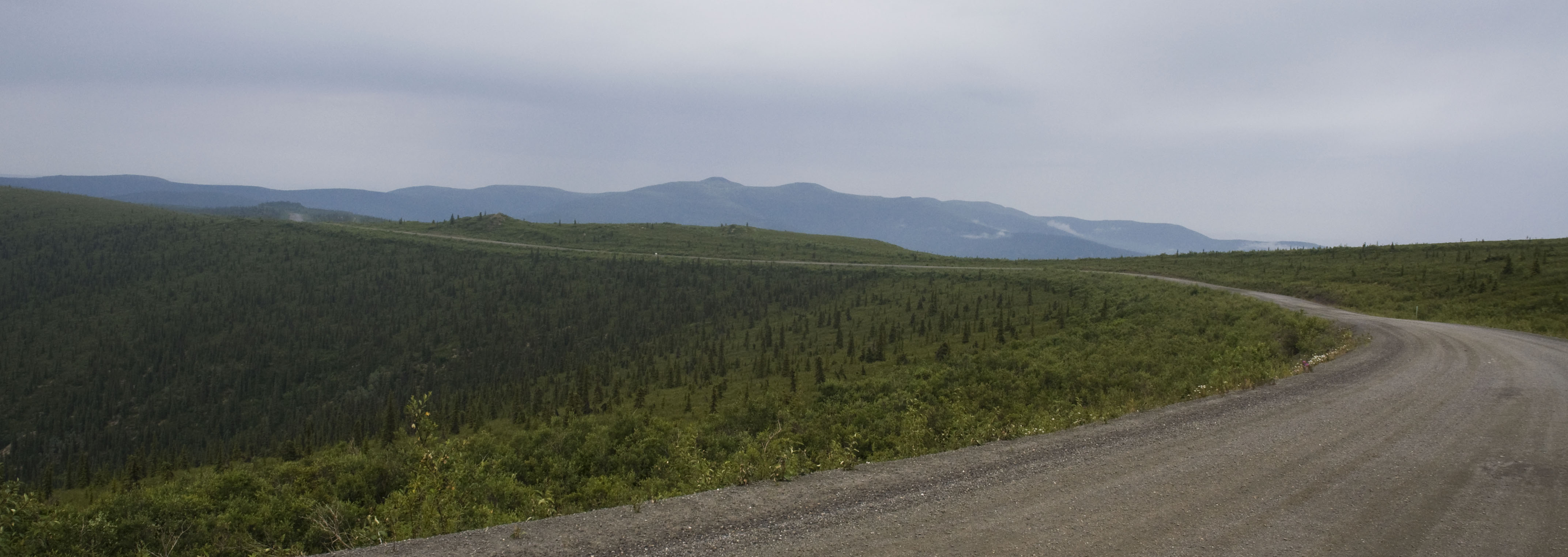
Another view of the "Top of the World Highway"
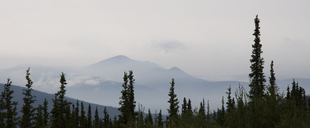
The fog and clouds do make for some dramatic scenery, although capturing the effect with a camera doesn't do the scene justice.
![]()
An old supply station from the gold rush era.
And another view of the Top of the World Highway
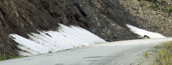
Yes, that's snow along the road.
The haze is giving way to clouds - much prettier
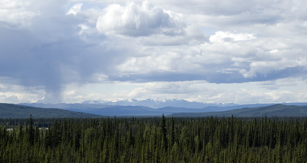
More mountains and clouds as far as you can see
The border between Canada and the US at Poker Creek, Alaska
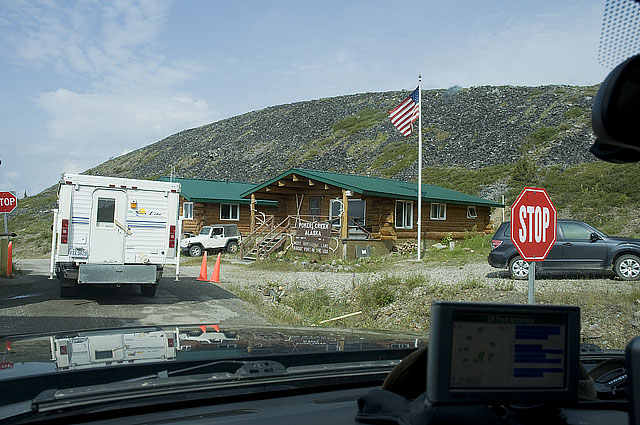
Poker Creek, Alaska. Population 2.
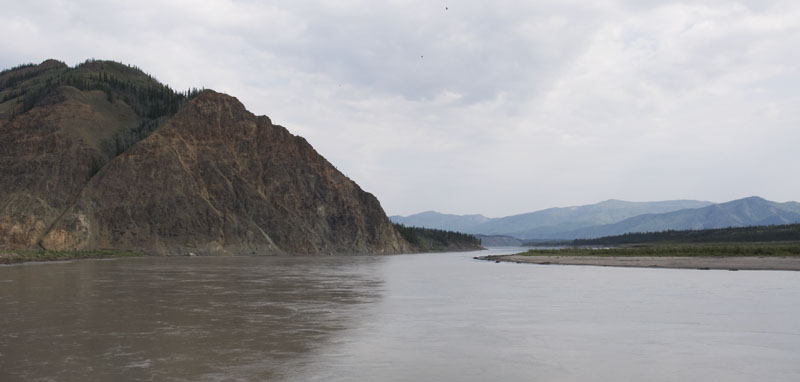
Our destination today is Eagle, Alaska, an old mining town on the Yukon River.
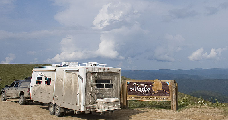
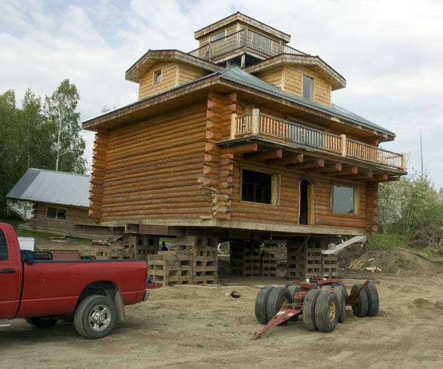
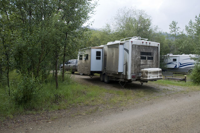
We did this photo in 2004, although the rig was a whole lot cleaner then because we hadn't just driven the Dempster Highway.
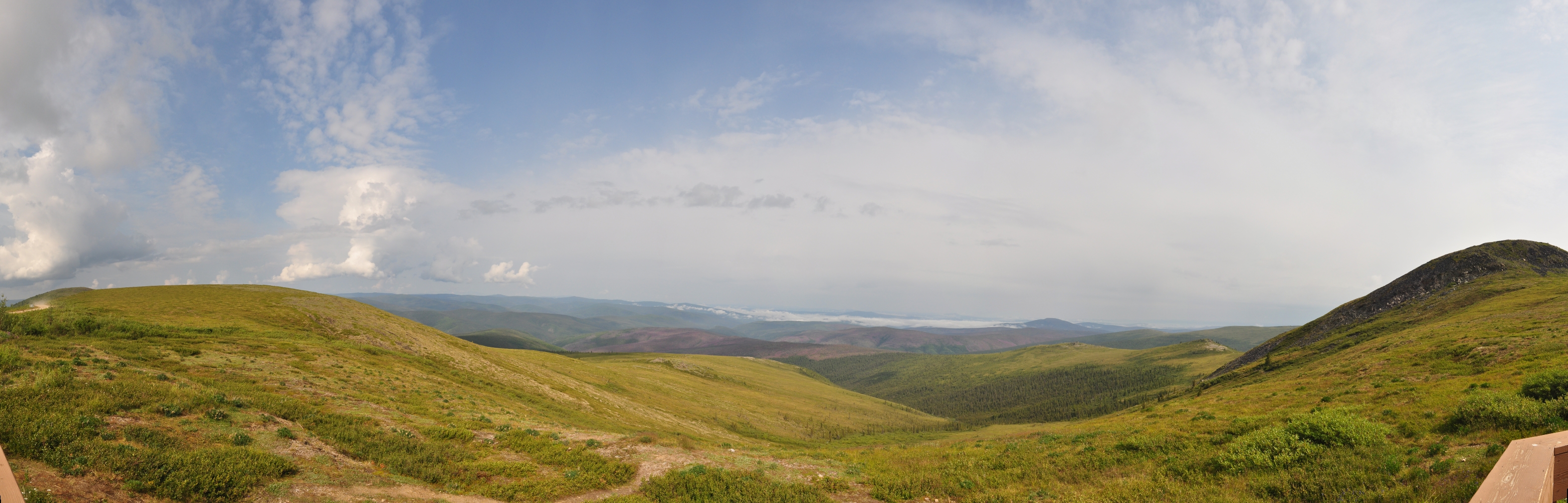
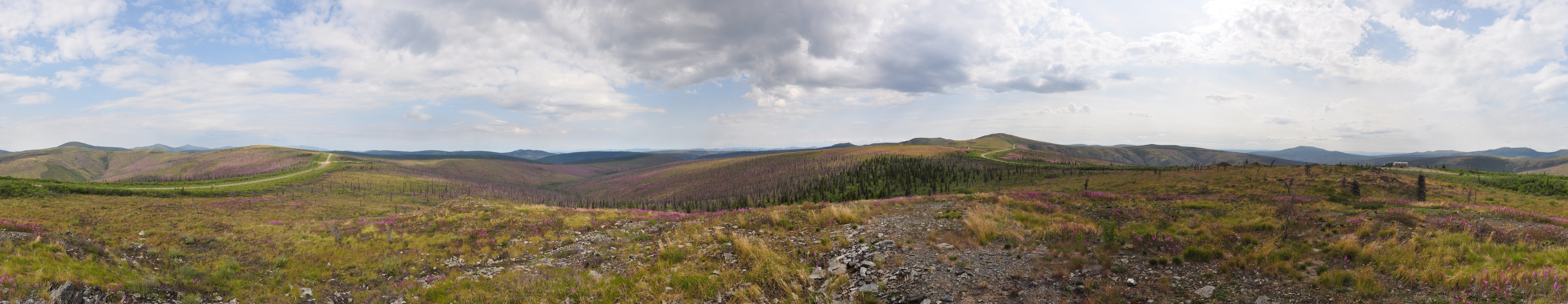
Yes, this is a huge image, but that's what happens when I stitch several photos into a single panorama shot
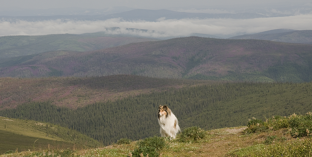
Gracie scans the scene on her first day in Alaska
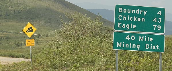
This is Boundry, Alaska. Not a whole lot more than what's in this photo.
One of the earlier buildings in Boundry.
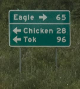
We turn right here for Eagle.
The vista on the first portion of the Taylor Highway to Eagle.
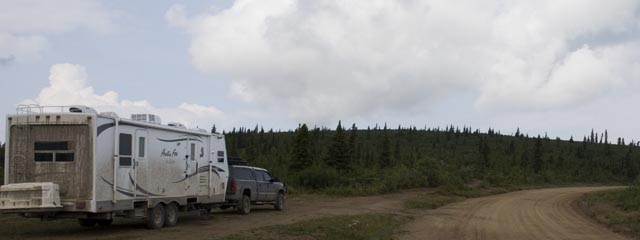
We've pulled off the road for lunch. The dirt road to the right is the Taylor Highway.
Trust me, the driver of a 55' long truck and trailer doesn't do much sight-seeing on this road.
It's hard to get the perspective in a photo, but this is what a 15% down grade looks like. We're in 2nd gear low range and the engine is wound out to 3,000 RPM holding the rig back to 14 MPH. Thank God we have a 4X4 truck.
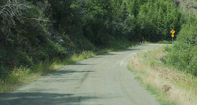
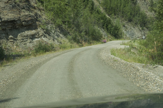
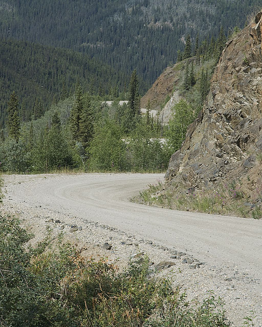
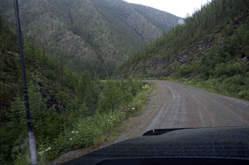
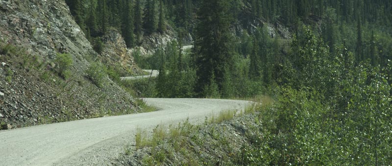
A couple more views of the Taylor Highway. By the way, it is NOT two lanes wide. You're looking at one lane.
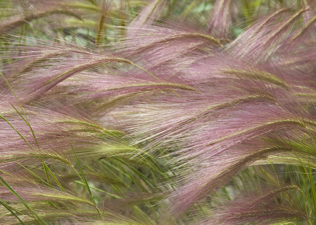
I have no idea what this stuff is, but it's pretty.
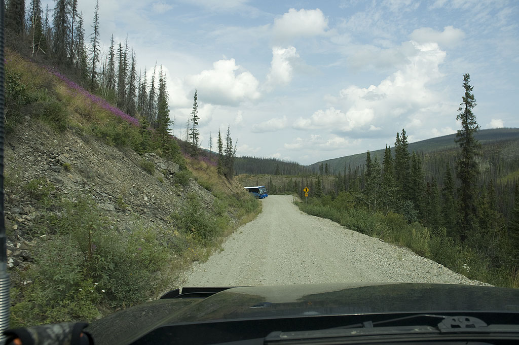
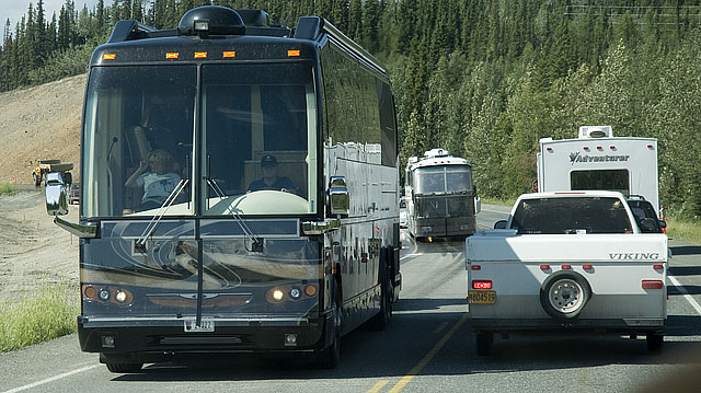
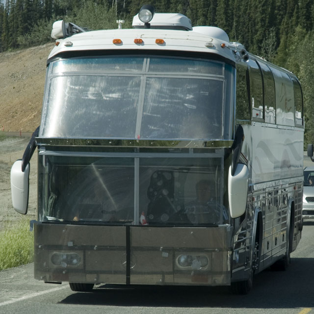
Fortunately, this tour bus had a pilot car & the driver of the pilot car radioed the bus so the bus could find a good spot to pull over.
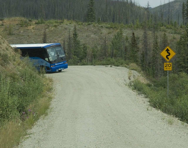
We've got to sneak around the bus on the shoulder to the right. We missed him by a few inches.
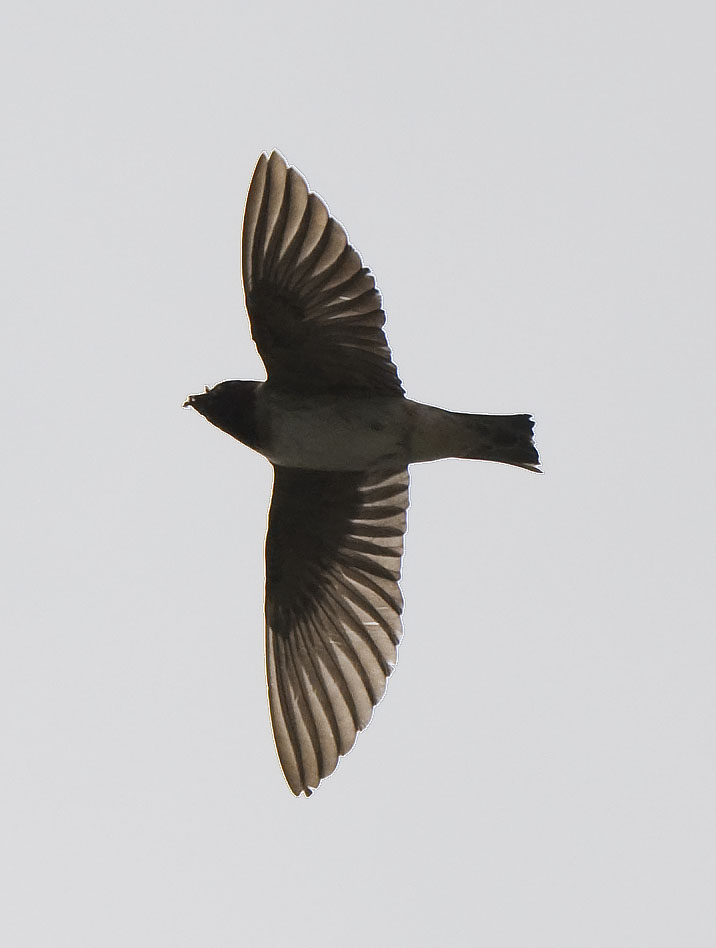
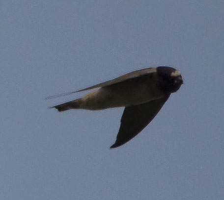
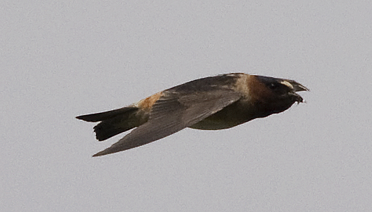
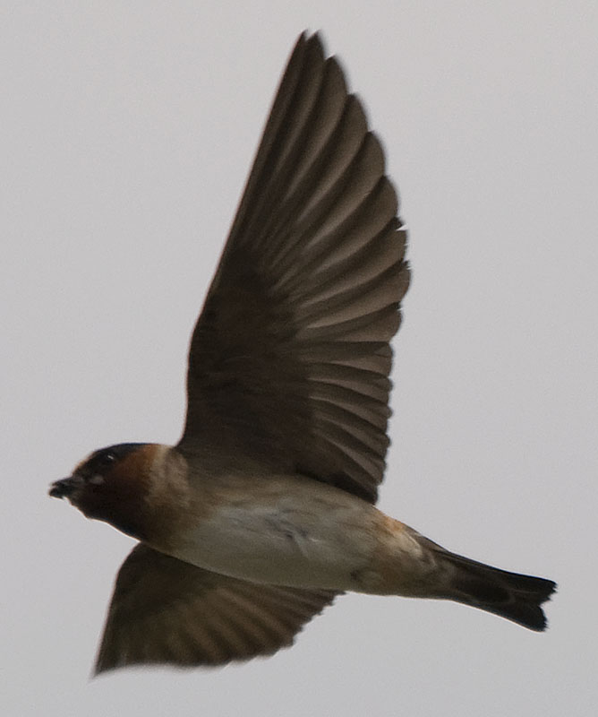
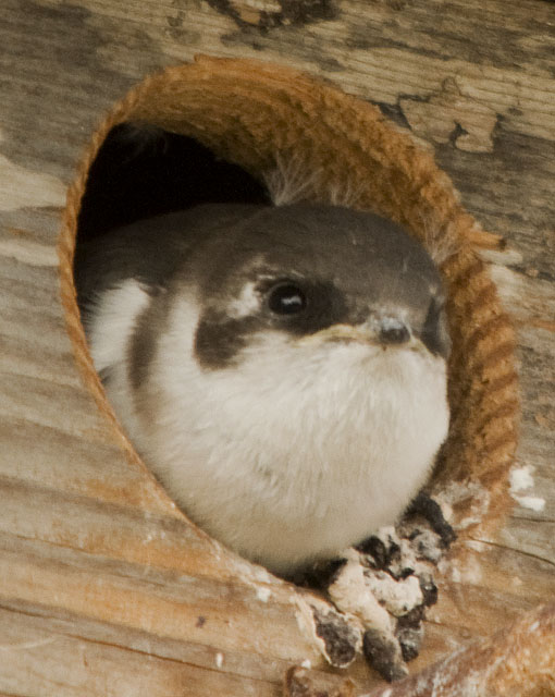
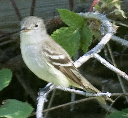
These Cliff Swallows were feeding on the bugs over a stream. It's a bit of a challenge manipulating a big lens trying to capture small birds doing fast acrobatic manuvers.
photogallery/alaska_2009/leg_07/2009-07-19_eagle/DSC_8982.AVI
Click on the link above to download a video of the bumpy road.
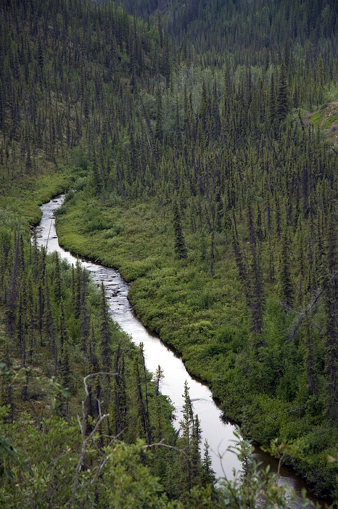
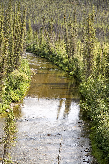
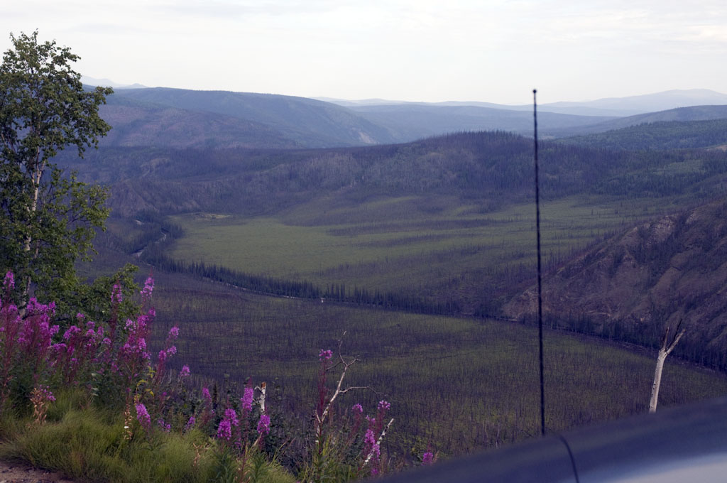
A pretty creek down in one of the valleys.
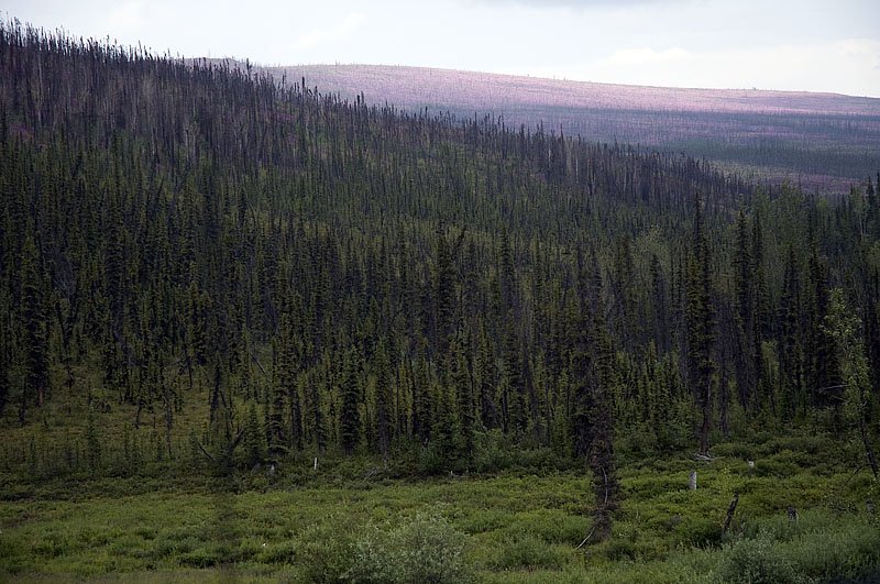
The Boreal Forest with fireweed in the distance.
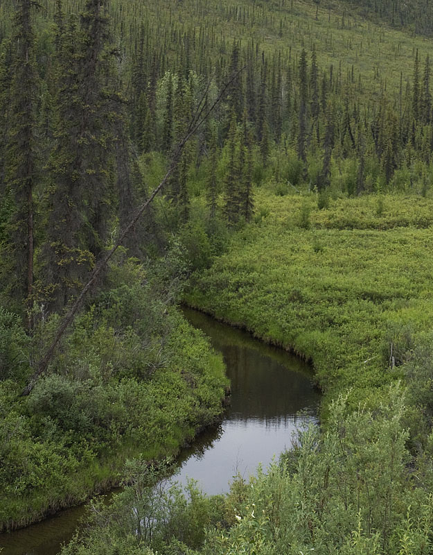
A lovely stream meanders through the forest.
Another downgrade to navigate in low range.
The road levels shortly before town.
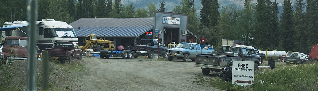
This place is soooo red neck!
July 20th - Eagle to Walker Fork BLM Campground [top of page]
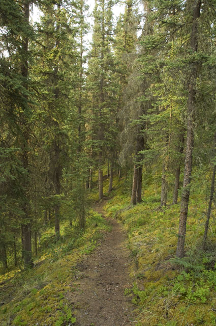
A trail near our campsite at Fort Egbert BLM Campground.
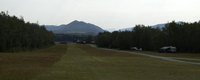
We drove past the end of the runway on our way back to town. Fort Egbert is directly behind us.
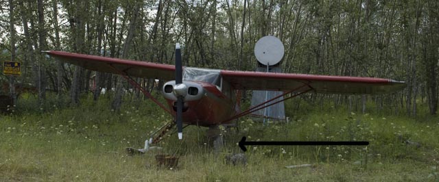
A one-legged ski plane. Makes you nervous just thinking about it.

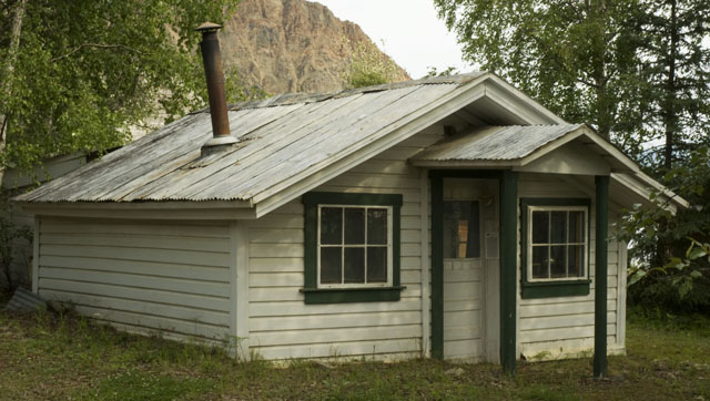
An interesting little house on the road to the river bank in Eagle.
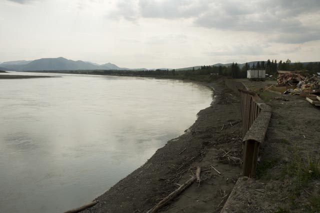
This image shows the steel plate armoring on the river bank. Note the size of the 12'6" high semi-trailers in the background to get an idea of how tall the armoring is. I'm guessing 20' down from the river to the top of the armoring.
The Yukon River looking downstream.
The Yukon River looking upstream.
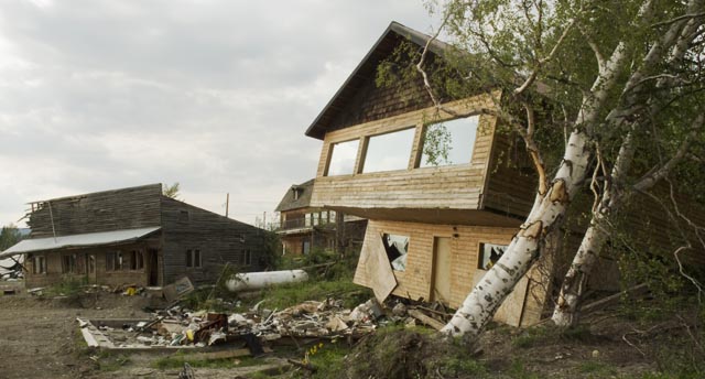
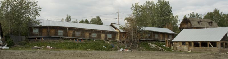
This building was shoved clean off its foundation.
This bed & breakfast got shoved around. While the damage on the outside looks minor, we've been told the insides were a mess. The building had been repositioned over its foundation and a crew was jacking it up to build a new wall under the original building.
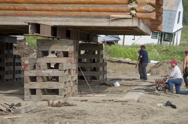
This image shows the workers running the hydraulic jacks just before they got to their final height.
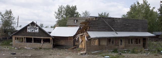
The interior of the Riverside Cafe looks like they'd just closed up for the night, except for it being in a state of disarray after being knocked around by the ice.
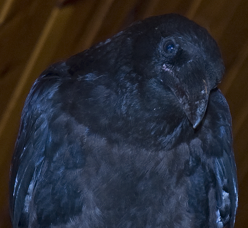
This Raven had found some soup crackers inside the Riverside Cafe and wasn't in the mood to share them with me.
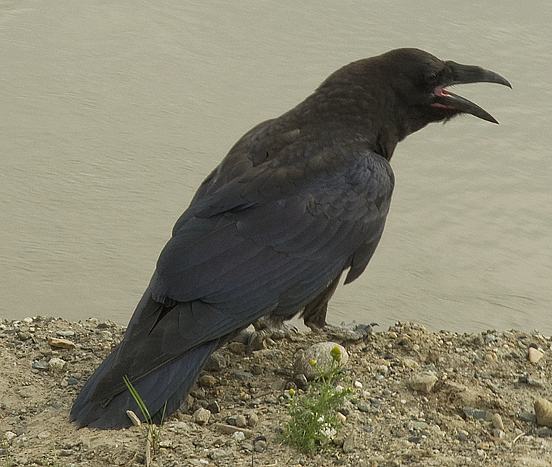
This Raven was working the river bank.
The motel was on relative high ground, yet it is probably wrecked.
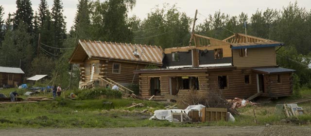
A couple of log homes that were damaged.
Another cute little older house. It's hard to believe how some folks think you need 3-4,000 square feet, huh?
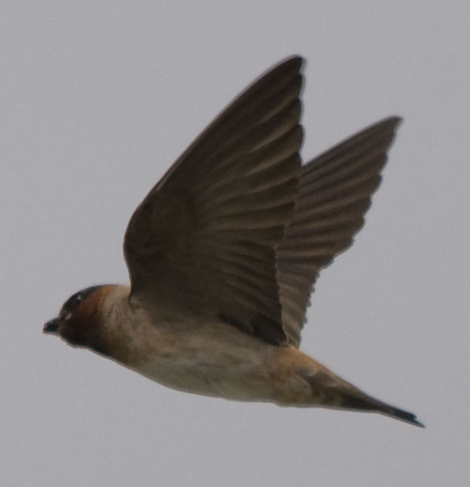
Momma Cliff Swallow looks for her mate to return with breakfast.
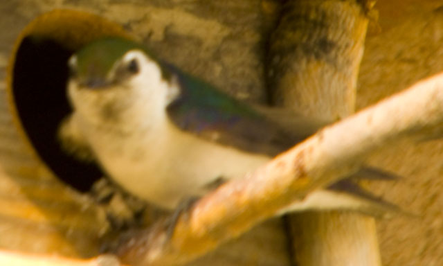
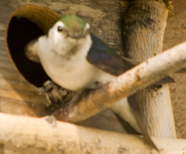
The male spotted me taking his picture just after he gave his mate his latest catch.
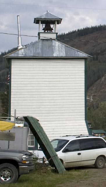
The village well house.

This sign is on the other side of the village well house.
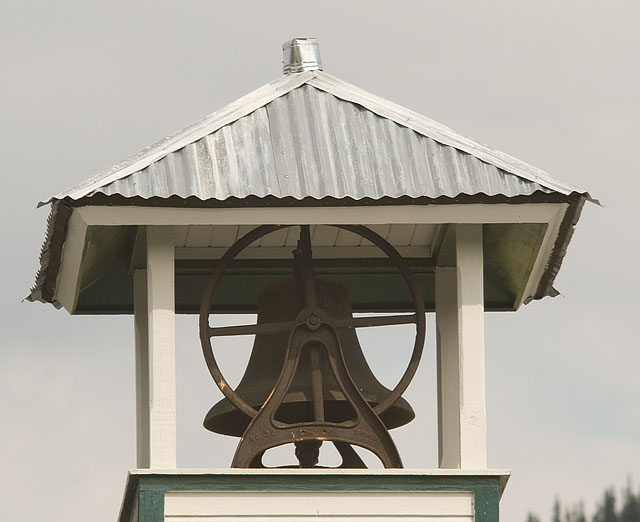
And here's the bell at the top of the well house.
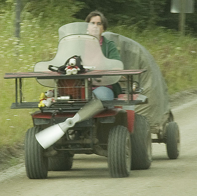
An interesting character rode into town as we were driving out.
Not only are the roads rough, curvy, they're not exactly flat. Take this very fast while towing a travel trailer & you'll get tossed all over the place.
This section is about 12' wide and rough in the middle. Finding a smooth path just doesn't work sometimes.
The fireweed is gorgeous.
Alaska's idea of a roller coaster.
.
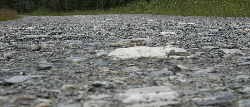
Where the rubber meets the road.
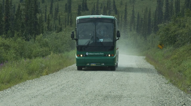
This tour bus driver wasn't half as nice as the one we met yesterday. His pilot car blew by us & 30 seconds later the bus came around the bend hell bent for leather. Fortunately, we pulled over and stopped when the pilot car went by because there's no room for both of us to drive like that.
CJ just loves the fireweed.
I hiked out about 100 yards to the top of a rocky prominentory and took several photos. This is the panorama version stitched together by Microsoft Ice.
A single shot from the same rock as the panoramic shot above.
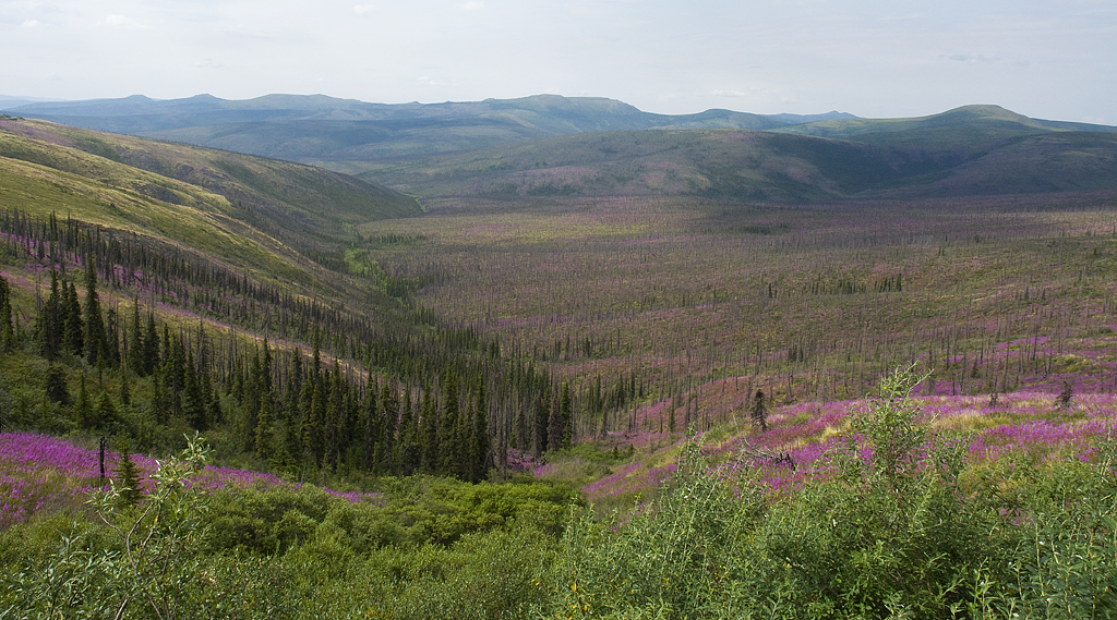
And on the other side of the road, there's this great view of this valley and its mix of forest and fireweed.
Going down another steep grade winds the engine to 3,000 RPM in 1st gear.
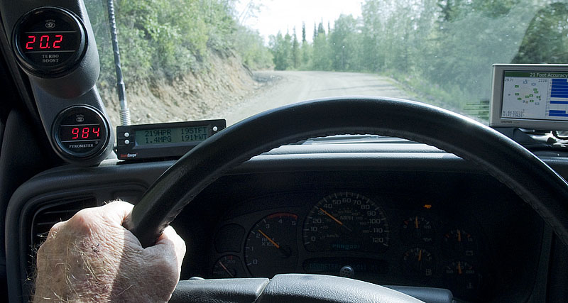
Going up a similar grade requires 219 HP while getting 1.4 MPG. Sure is a good thing we don't do this all the time.
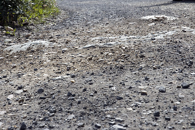
Did we mention that these roads aren't very smooth? All that crushed rock is hell on the tires, too.
Uphill, downhill, uphill, downhill. It seems that's all we do. This time, it's down.
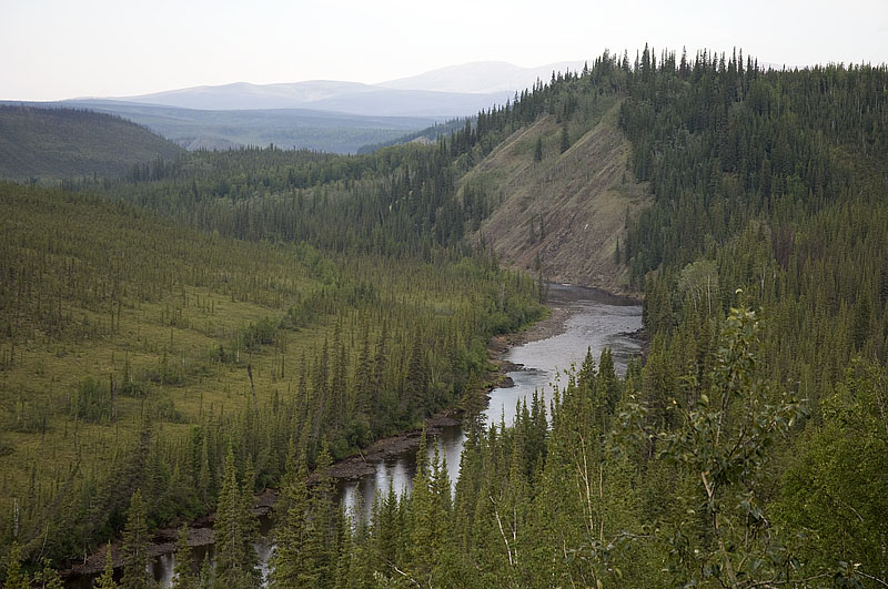
Looking down to the meandering stream in the valley from the edge of the road in the photo below.
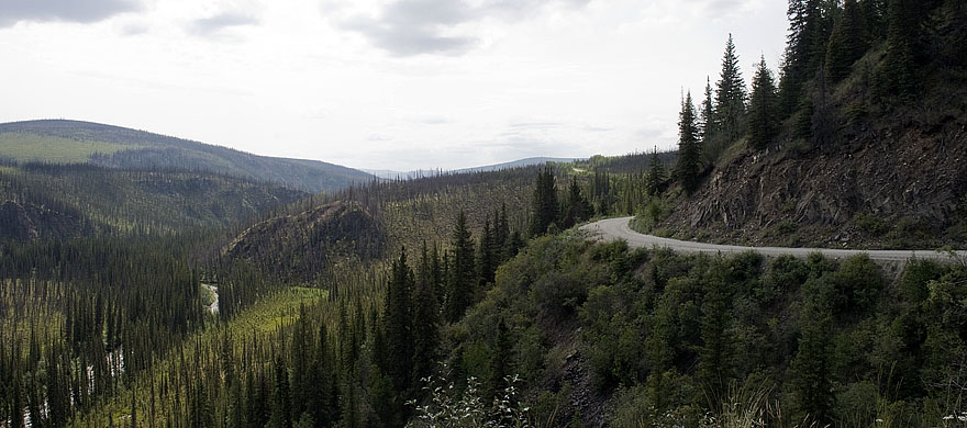
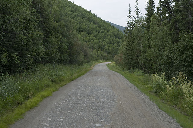
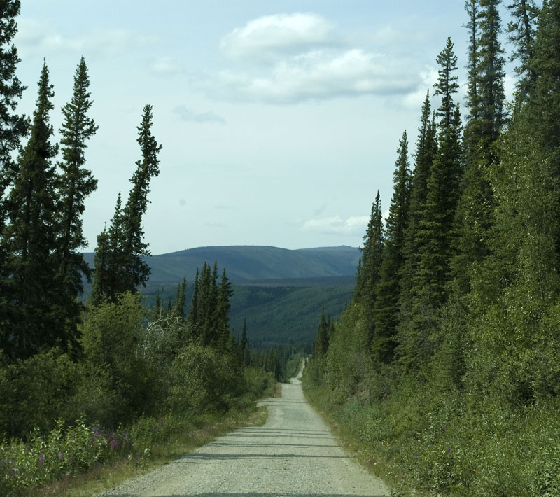
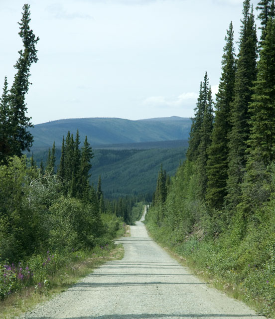
The Taylor Highway runs along the side of the mountain.
Another shot of the stream in the valley.
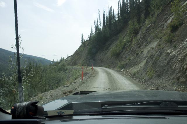
Some parts of the Taylor Highway are a tad narrower than others. We're sure hoping no one is coming!
We had lunch at the little state rec area parking lot before going up the big grade.
Here we are on the big grade. Not very straight. Once again, we're hoping that no one is coming down the grade.
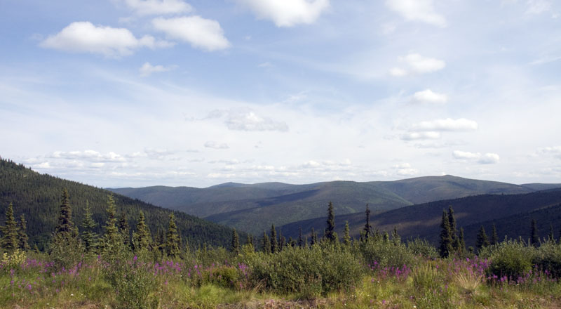
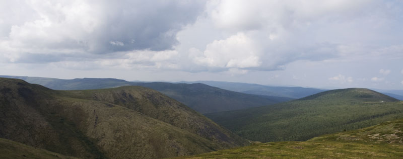
As we near the top, we're rewarded with a nice vista.
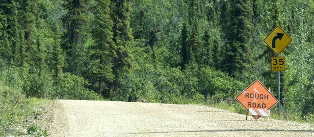
OK! When you see a "Rough Road" sign on one of these roads you pay attention.

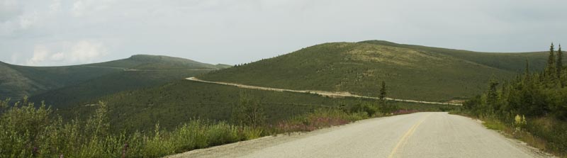
We're back on the "Top of the World Highway" headed towards Tok.
Yet another vista shot.
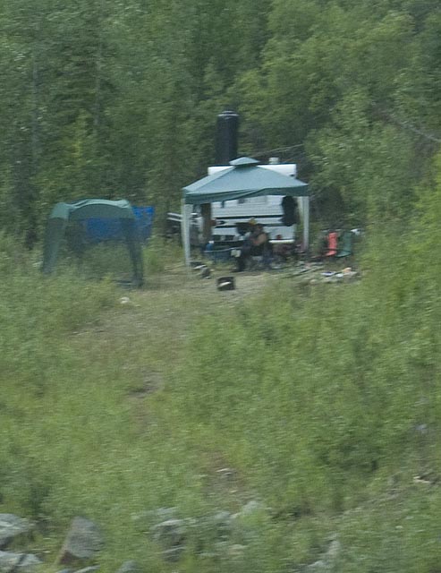
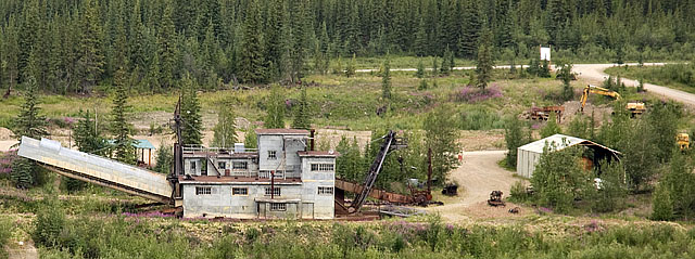
A quick shot of some minors at their campsite on the side of the road. This section of the Taylor Highway is actively mined by numerous small operations--ie a couple of guys and a sluice box..
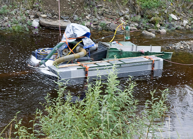
Some mining gear in the river along the road.
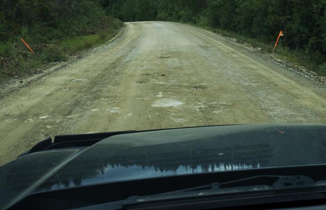
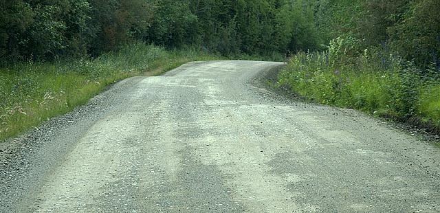
This road sure needs some TLC from a road grader.
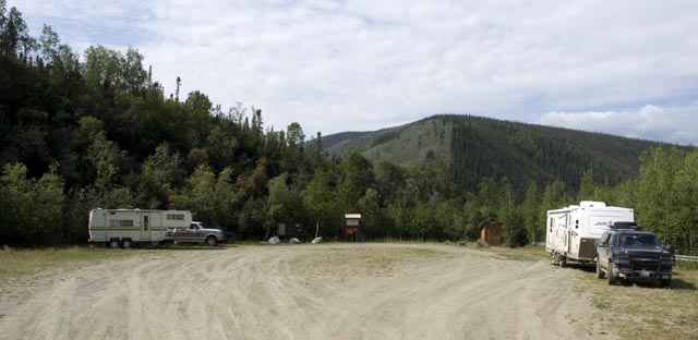
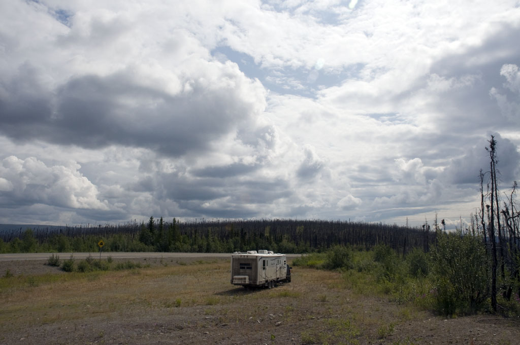
We're camped for the night at Walker Fork BLM Campground.
photogallery/alaska_2009/leg_07/2009-07-20_walker_fork/Taylor Highway Prominetory vista.spj
July 21st - Walker Fork BLM Campground to Moon Lake SRA Campground [top of page]
A pretty valley. I took this photo through the sunroof like many, many others. You can tell by the truck's radio antenna in the photo. Just get a good grip on the camera with the right hand, hold it up in the air and point it as best as you can in the direction you'd like, and press the shutter button. This photo was taken while stopped, but many are taken while going down the road.
Wouldn't it make a great home site down by the river?
Our first view of "Chicken" as we drive down the grade into a valley. This part of Chicken is more newly developed into a slick tourist attraction/RV park/etc. The gift shop was brand new and more closely resembled a stylish boutique than an Alaskan shop in the middle of no where.
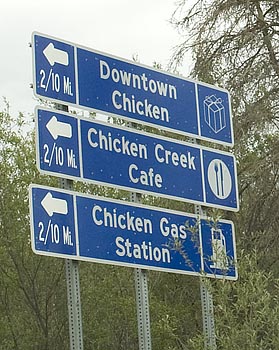
Here's the real Chicken, aka "Downtown Chicken".
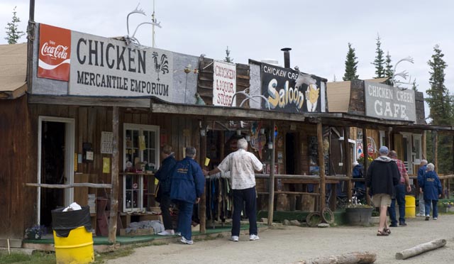
Here it is. Downtown Chicken.
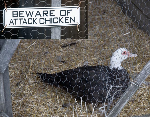
I was nice and didn't tell them this is a duck.
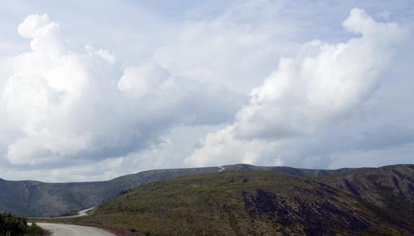
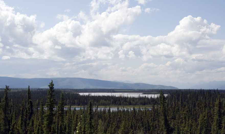
A rest area/viewpoint of Mount Fairplay
Another view of Mt. Fairplay
The nice thing about our ground clearance and off-road tires it our ability to get off the road like this. Believe it or not, I spotted this area and hung a hard right turn off the road into it, then turned around before stopping here.
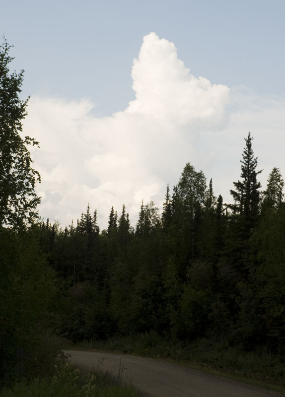
And more pretty clouds.
We saw these two mega-size Class A motorhomes in Whitehorse. We thought that duct taping the plexiglass to the front of a Prevost was a bit tacky then and we still do. You'd think that someone with the funds to buy a $1.4M motorhome would find a better way to protect the paint than duct tape.
On the other hand, their friends in the Mercedes bus conversion duct taped the whole front end. It's got to be hell trying to see through that scratched plexiglass when the sun hits it.
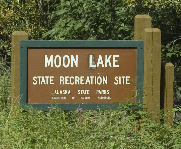
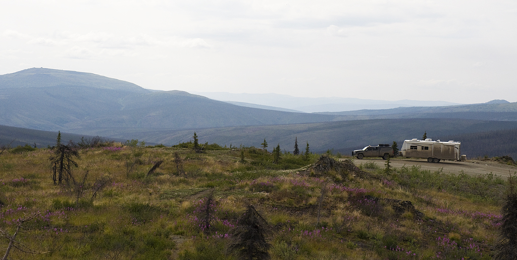
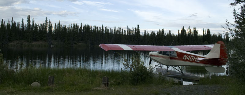
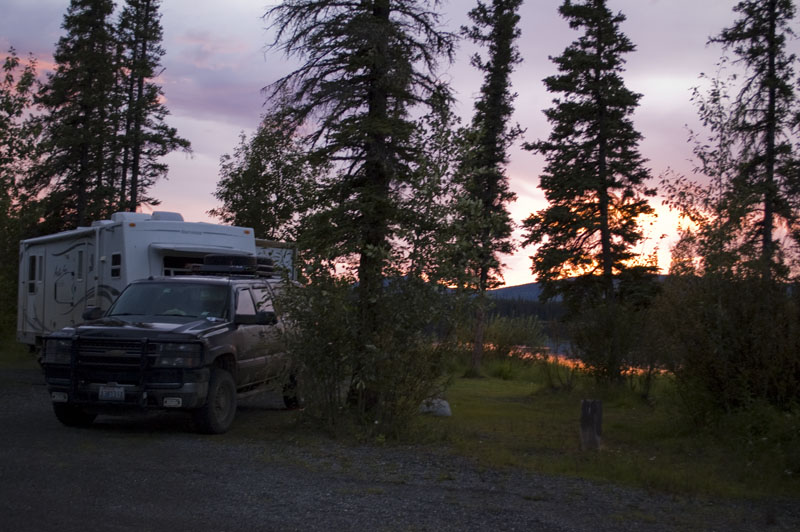
About 18 miles past the town of Tok, we arrived at Moon Lake SRA. It was a ghost town, so we had a wide selection of sites.
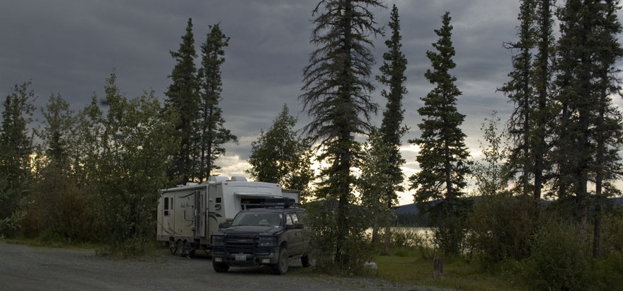
We picked this one next to the lake. The rest of the sites were back-ins to the left.
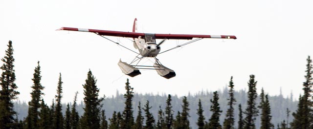
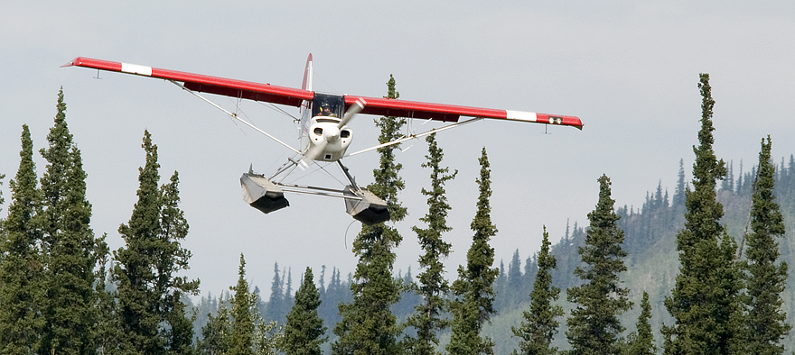
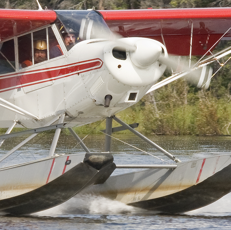
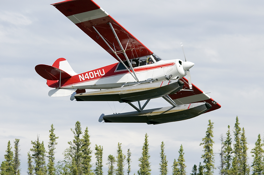
We were still setting up when we heard a plane overhead. He cruised over the lake at low altitude & we guessed that he was doing his flyby before landing. So, I grabbed my camera. and headed for the beach all of 50 feet away. Sure enough, here is comes right over the tree tops.
 Here
he is touching down right in front of us.
Here
he is touching down right in front of us.
The pilot guides his plane into the tules a very short distance from our site.
The plane is put to bed for the night.
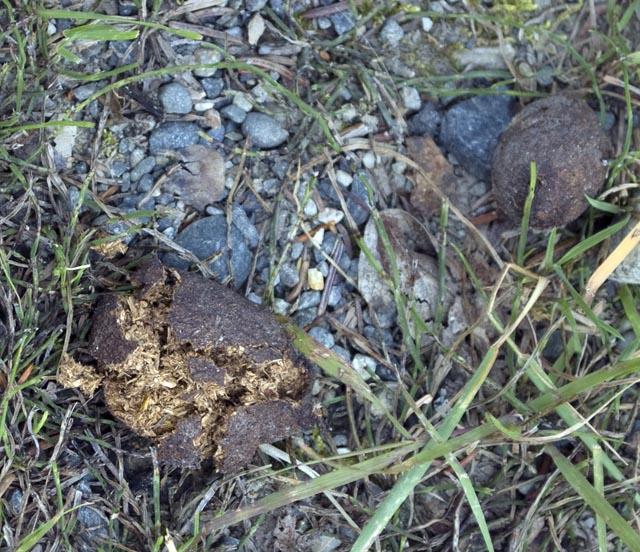
I found this beaver scat at the edge of the trees just behind the float plane.
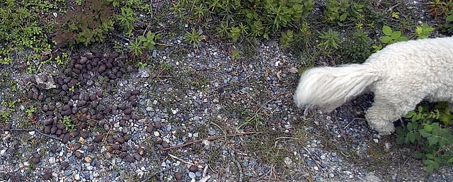
Bo'sun gives some scale to the beaver scat on the left.
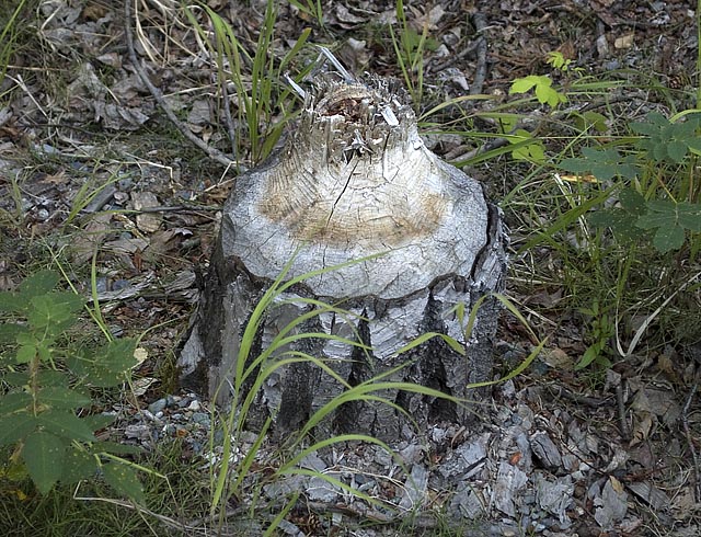
One of several tree stumps behind the float plane. I guess I'll be scouting for beaver tonight.
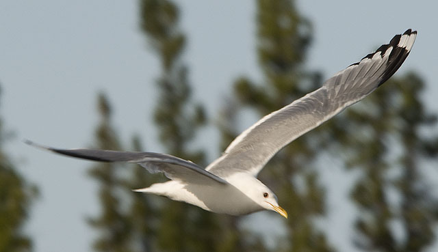
This Mew Gull was my first wildlife subject for the day.
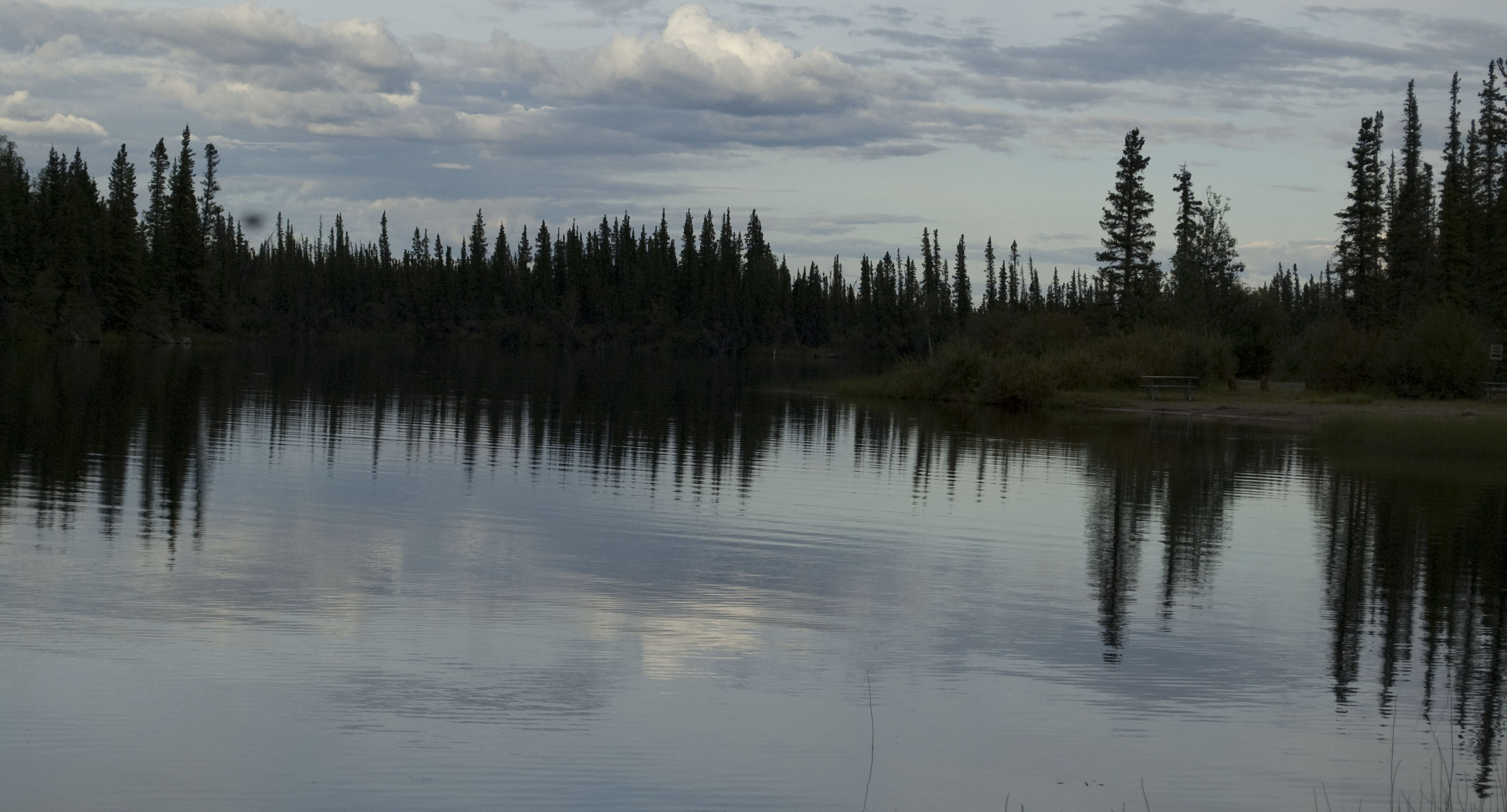
A shot towards the south end of the lake.
The view towards the north end of the lake. This photo was taken from the little beach between the float plane and our site so the grass in the foreground is next to our campsite.
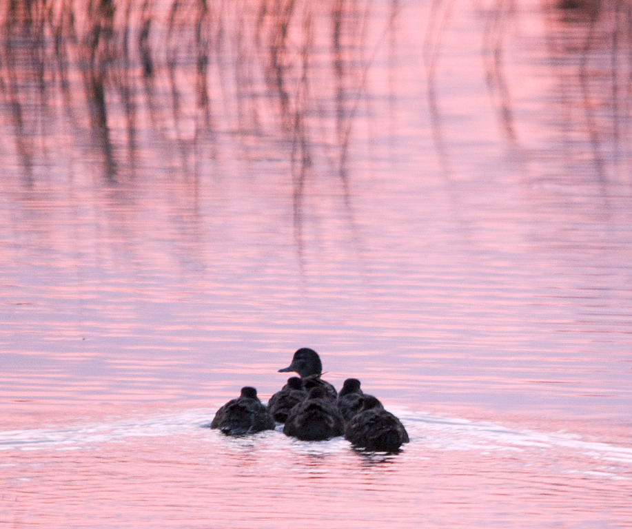
Before I could find the beaver, this momma duck and her brood swam by.
I tried to position myself to get a shot of them in the pink part of the reflection but the ducks wouldn't hold still while I got there so this is as good as it gets.
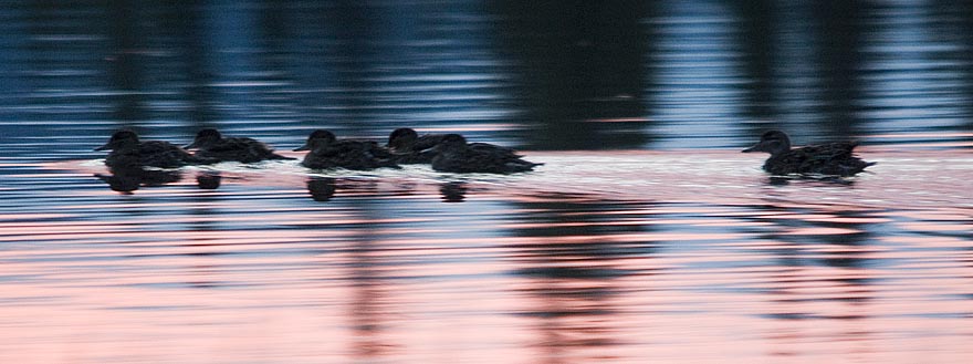
A close up of some of the young ducks.
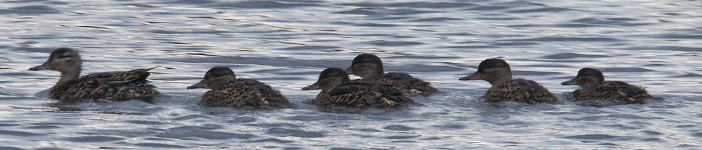
Then, there is the column of ducks formation.
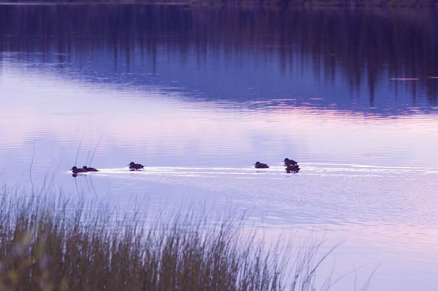
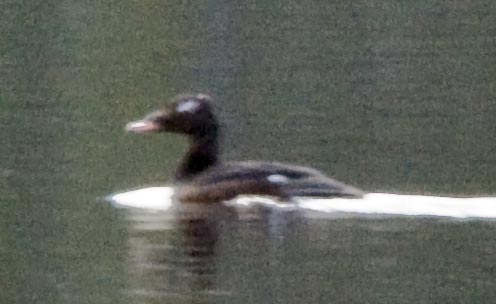
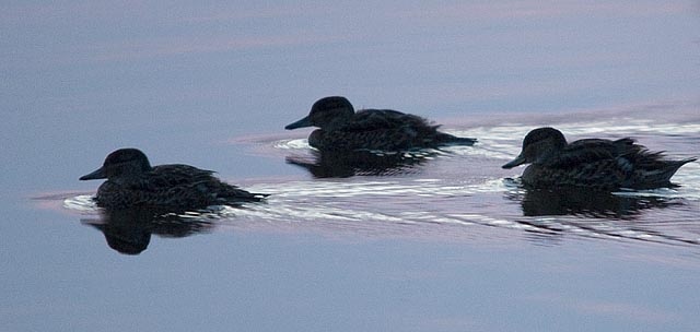
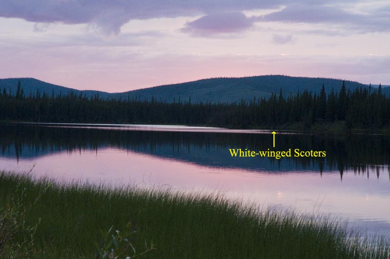
Then there were the White-winged Scoters feeding on the far side of the lake. Yes, this is a poor photo, but consider the photo below that shows where these guys were . . .
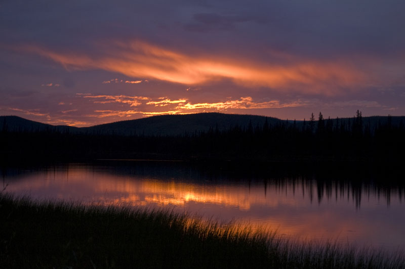
By now the sun was setting and it was time to focus on the sunset possibilities.
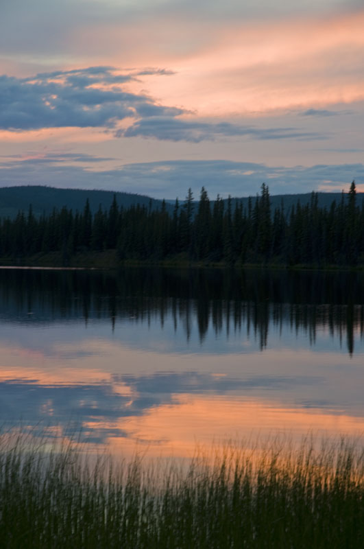
Another shot of the sunset a while later.
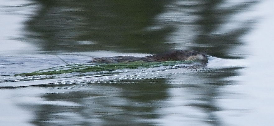
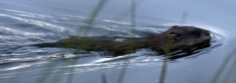
The beaver finally showed up. He was harvesting plants well to the north of our campsite and dragging them to his lodge just south of the float plane. It took over 30 minutes for him to make a round trip so my photo opportunities were spread out.
I tried a variety of techniques to get better shots of the beaver. This photo was taken a while later in very different lighting.
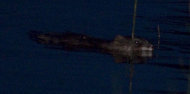
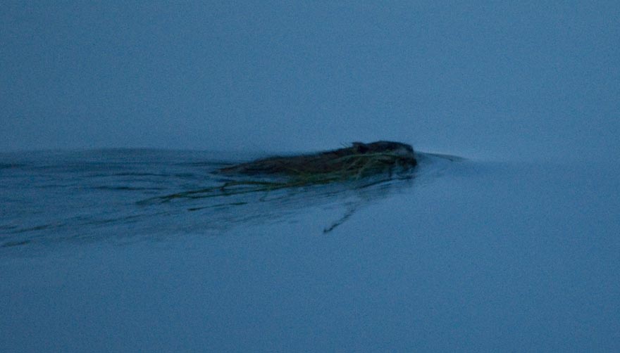
As you can see, it's getting dark and difficult to get a good photo of the beaver.
July 22nd - Moon Lake SRA Campground [top of page]
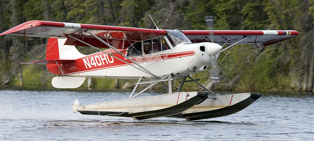
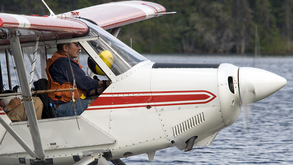
We missed the early departure of the Fish & Wildlife bush plane but were up for his return a couple of hours later. The pilot is an experience bush pilot that ran his own flying service for many years and now takes Fish & Wildlife spotters up for surveying flights. Their current project is locating Bald Eagle and Osprey nests. They don't just locate the nest and quit there. The pilot puts the plane in such a tight bank at tree top level that the spotter actually counts the eggs in the nest as they circle the nest. The spotters are worn out after about 2 hours of this, so they return to Moon Lake to rotate spotters. But, Jim the 65-year old pilot is good to go ago after a sandwich.
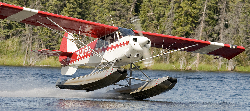
Touch down.
Both floats down.
A tight crop of the photo above.
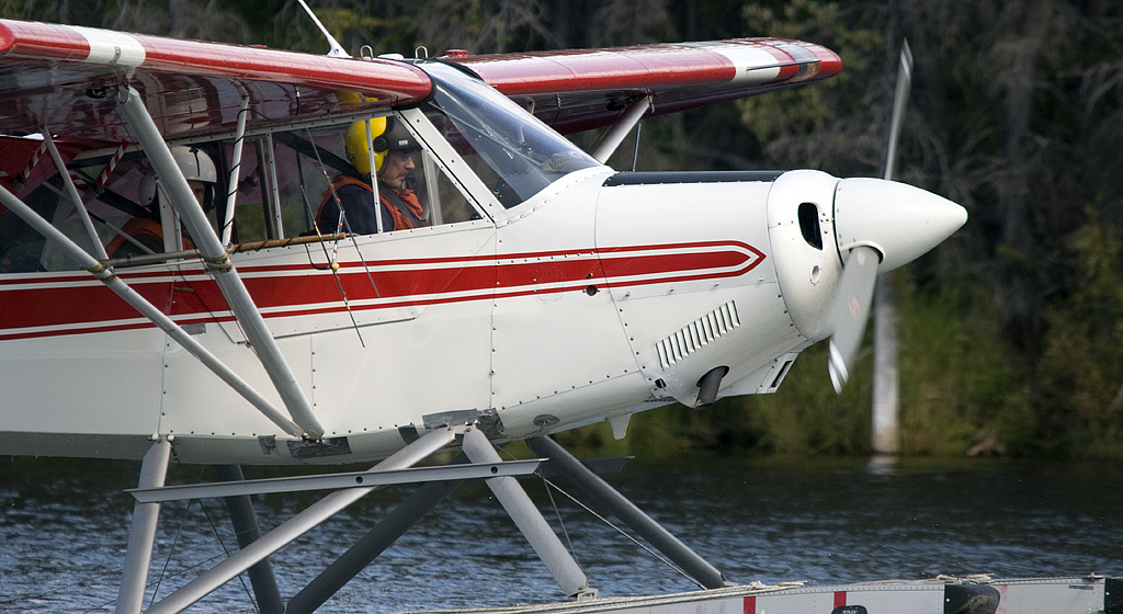
Taxiing towards shore.
Jim refuels his plane.
And off he goes again.
A little wigwag of the wings for us.
0.jpg)
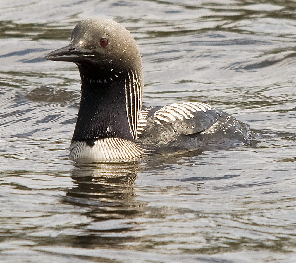
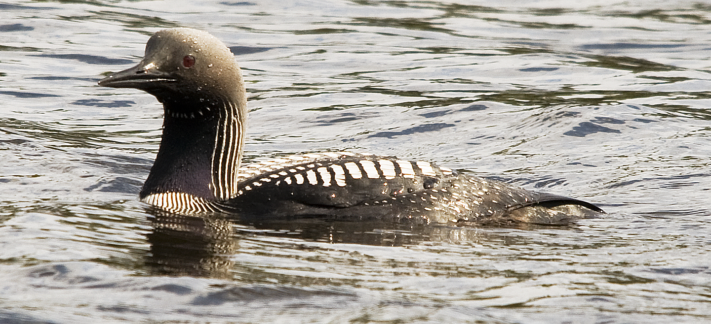
We'd seen this loon on the far side of the lake, but the photos were just good enough to ID him as a Pacific Loon instead of the Common Loon's we'd been seeing elsewhere. Today, he was fishing on our side of the lake and the lighting was good, too.
Below are several other images of this Pacific Loon
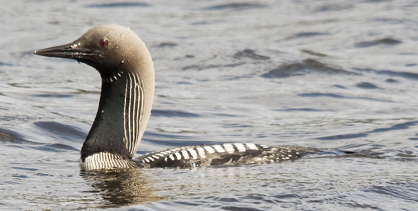
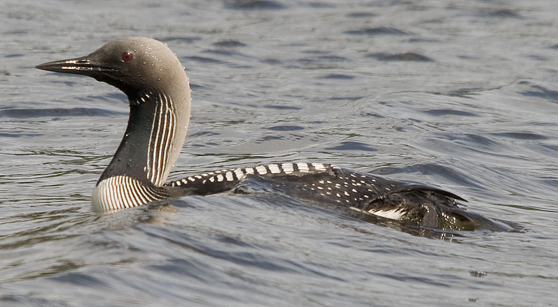
Note how far back the loon's feet are. This makes them excellent divers but lousy on land.
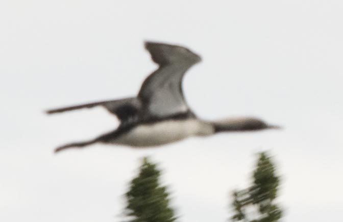
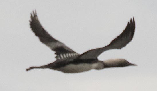
Gradually, he moved further out in the lake and I quit photographing him. Then, I saw him taking off and by the time I got the camera into position I was able to get just these 3 photos.
This photo shows again how far back the loons feet are.
The camera finally found the loon and got properly focused on him .
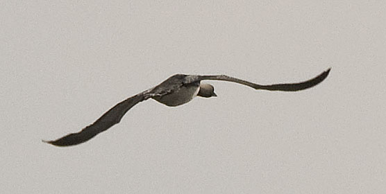
Perhaps the Mew Gull was jealous that I was spending my time photographing the loon because he made several close passes that gave me a chance to get some nice photos of him in flight.
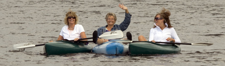
These ladies asked me to take their picture. They were celebrating the birthday of the ham in the middle by taking her kayaking.
The American Widgeon swam back and forth between past our campsite. This shot captured a nice reflection of her head.
While this shot was taken when she was in rippled water.
The sun is going down with more of a flourish tonight.
I tried to capture the mood lighting of the sunset through the trees around our campsite.
Yes, the beaver was taking the reeds south last night while he's taking them north tonight. That's because I found his lodge and I'm standing directly on top of it while he brings in another bunch of reeds from the south end of the campground.
Too bad the camera got confused between focusing on the beaver and the reeds in the foreground.
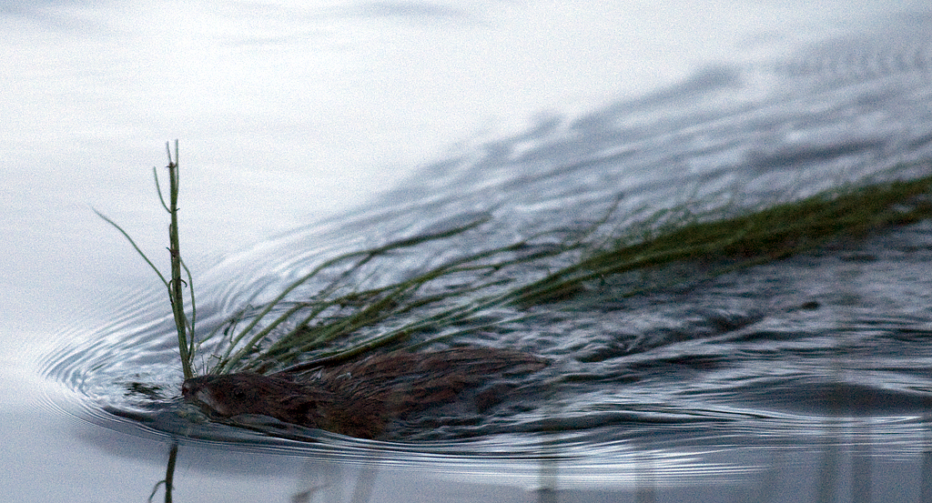
The beaver is turning and heading almost straight for me. The sound of the camera so close spooked him and half a second later he was gone.
July 23rd - Moon Lake SRA to Clearwater SRA Campground [top of page]
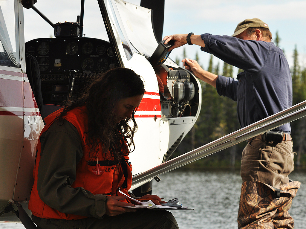
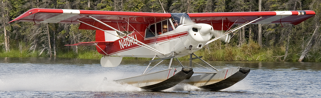
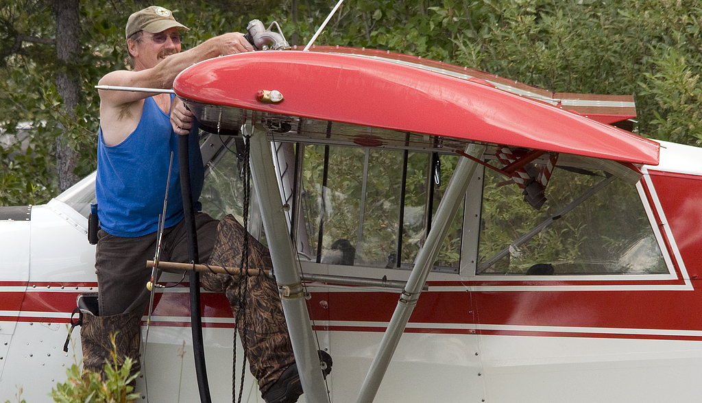
We're leaving Moon Lake this morning, but Jim has a new & pretty spotter who asked me to take some photos of her and "her pilot" as she called him. Here she's working on their paper work while he adds some oil to the engine.
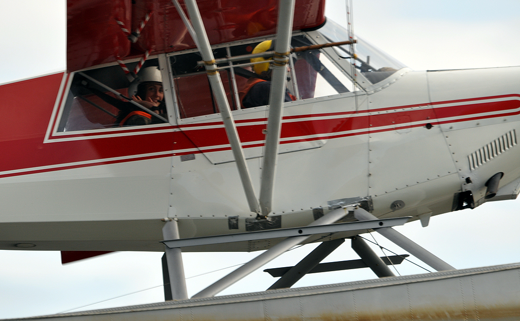
we planned this shot. She's smiling for the camera just as they fly by after taking off. Once again, Jim wagged the wings to say "Goodbye" so this was the only shot of her smiling for the camera.
We left a few minutes later.
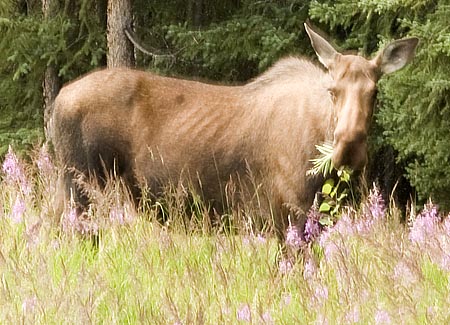
Another moose along the side of the road. She seemed OK with our stopping but changed her mind when a motor home stopped behind us.
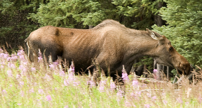
Note the bugs flying around her rear in this photo. We aren't the only ones annoyed by the incredible number of mosquitoes and flies.
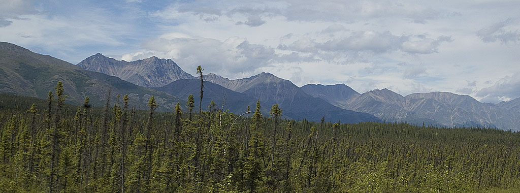
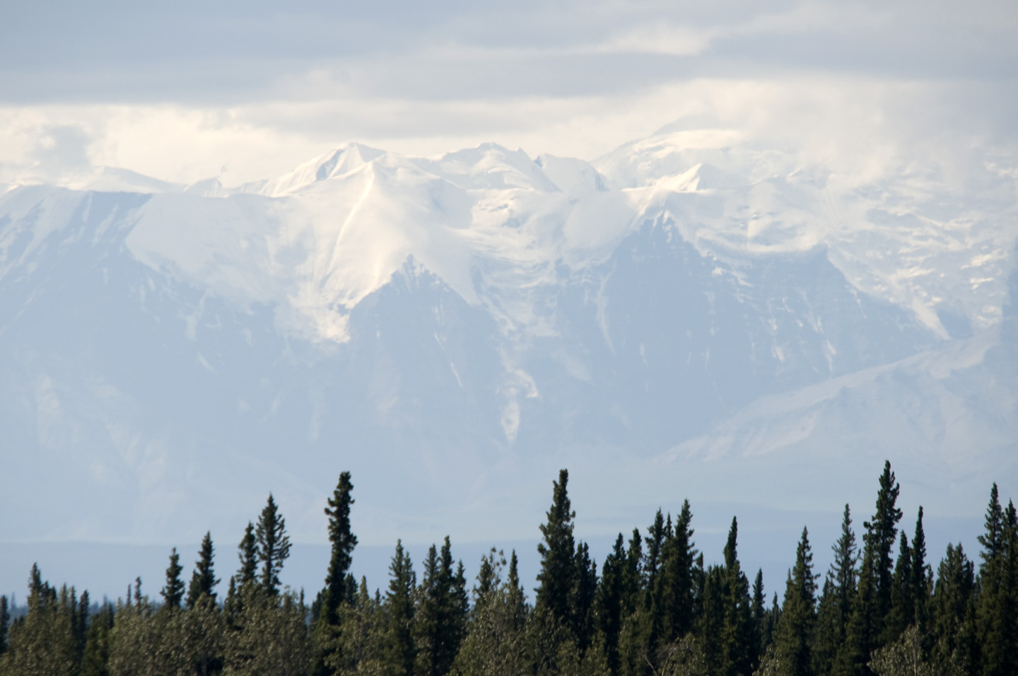
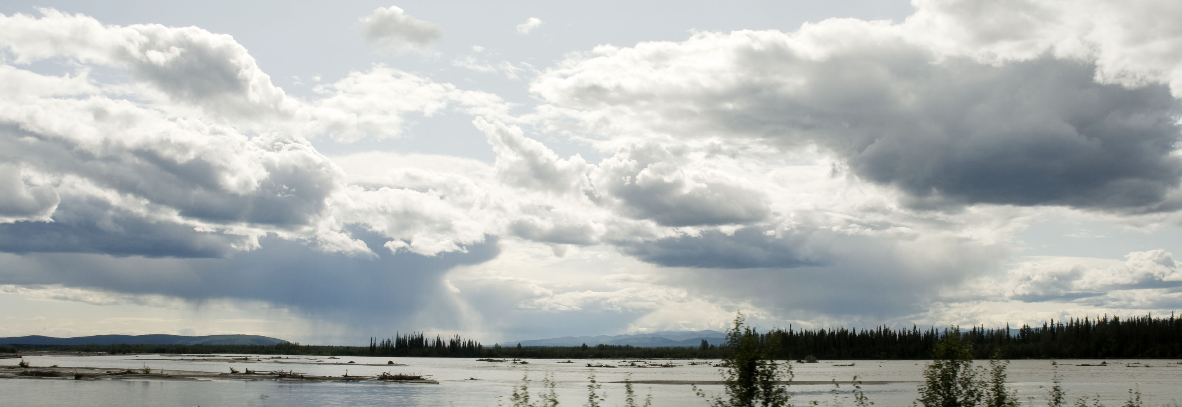
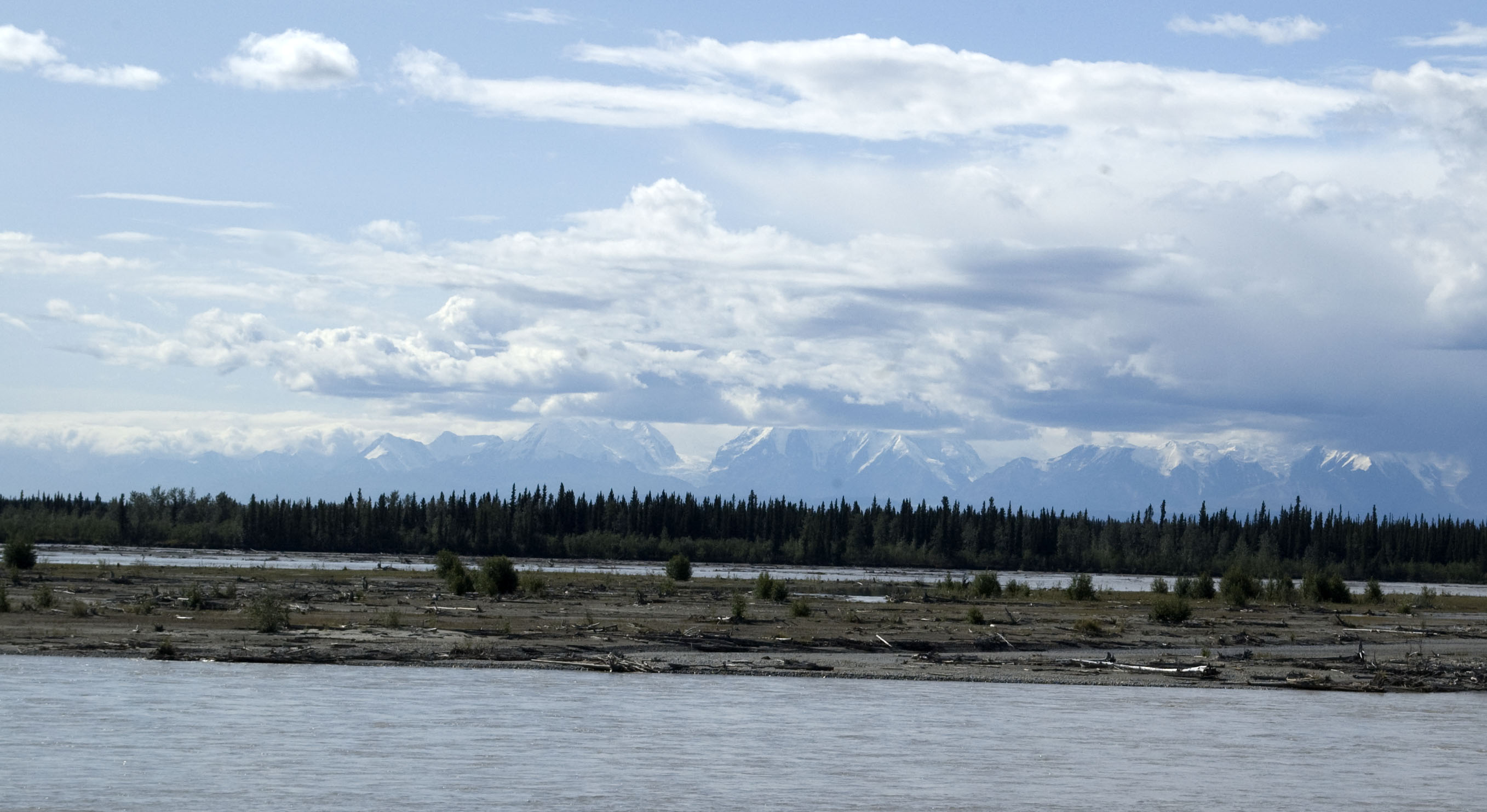
The mountains to the west of the Alaska Highway are rather spectacular.
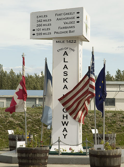
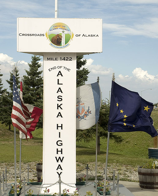
Two view of Mile Post 1422 in Delta Junction marking the end of the Alaska Highway.
Years later the highway between here and Fairbanks to the north was named the Alaska Highway too, which raises the hackles of the folks in Delta Junction.
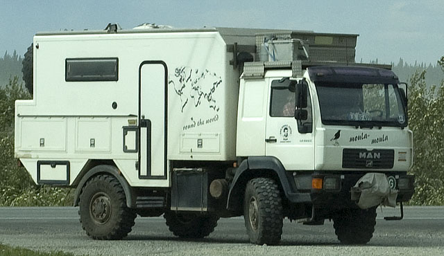
We played cat and mouse with this circumnavigation expedition rig today. They were in front of us & we turned into a place. Then they turned around and came into the place--often as we were leaving. Here they are turning into another place as we're leaving. But this time, they backed out and didn't proceed any further.
One of the more professional looking rigs, but with only 1 small window on each side, it must be dark in there.
![]()
Clearwater SRA - our home for the night
![]()
Our campsite at Clearwater SRA
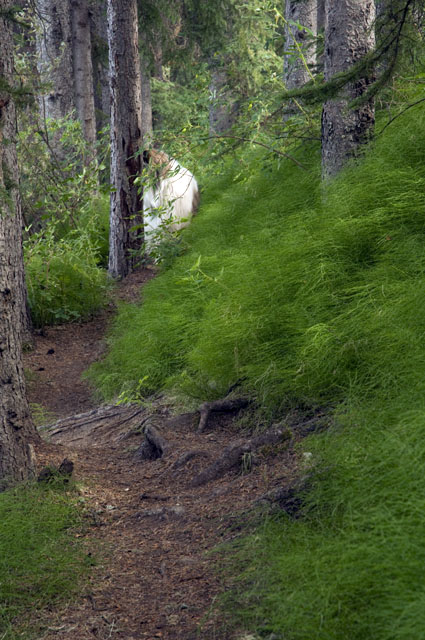
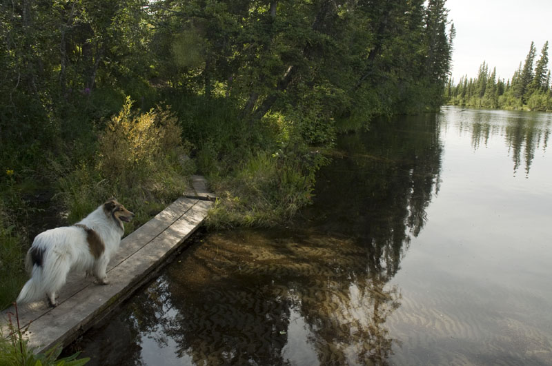
Gracie on the trail along the river not far from where I was standing when I took the photo of the rig in the campsite. Gracie & I followed this trail in both directions until we reached private property.
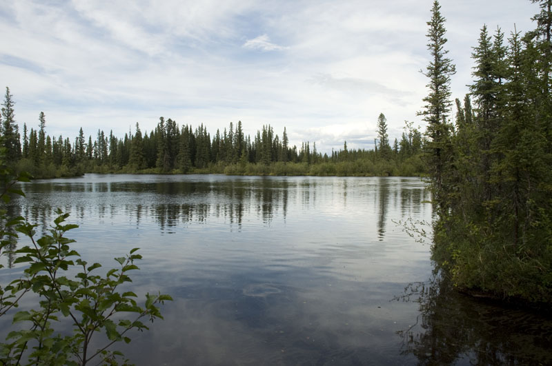
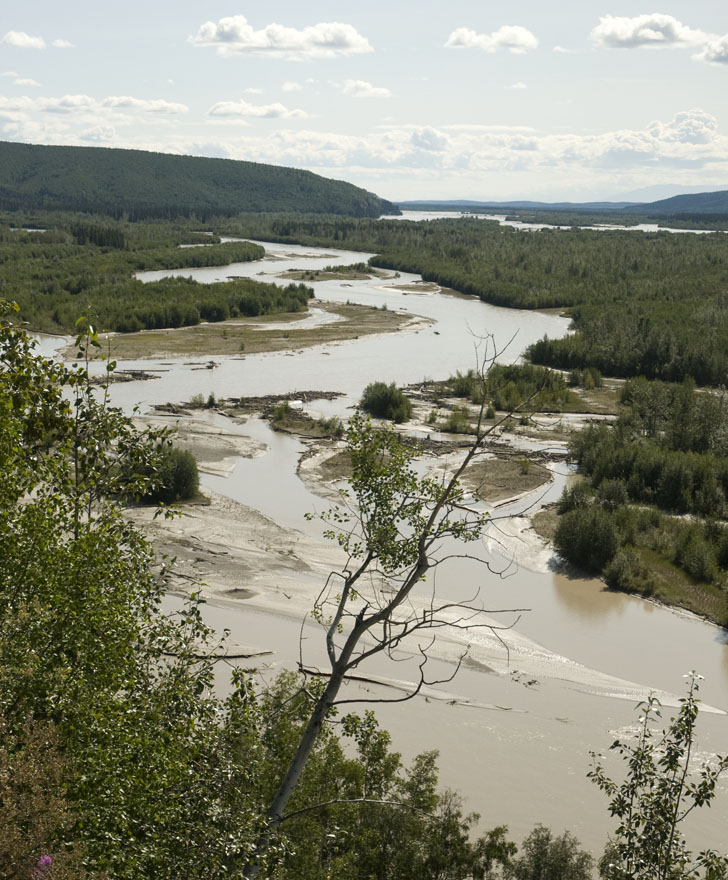
The river across from our campsite.
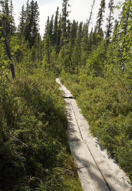
Part of the trail is across tundra, so they put down a board walk. Keeps the feet a lot less muddy and protects the tundra.
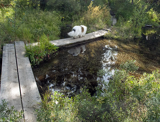
At first Gracie wasn't big on board walks, but before long she'd gotten used to them and was leading the way out in front of me.
This could have been a perfect shot of Gracie if it weren't for her muddy feet.
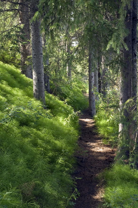
Heading back through the lush forest along the river.
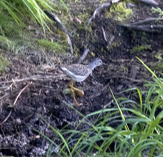
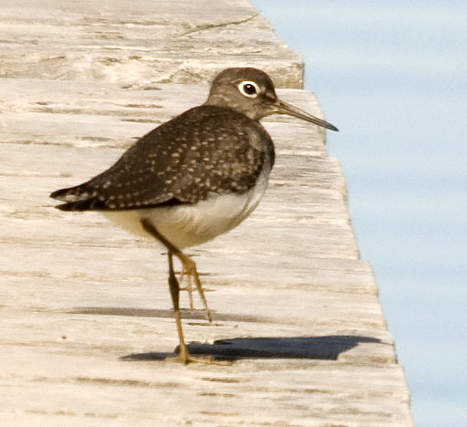
We only got a glimpse of this Lesser Yellow-legs Sandpiper before he skedaddled.
July 24th - Clearwater SRA to North Pole, Alaska [top of page]
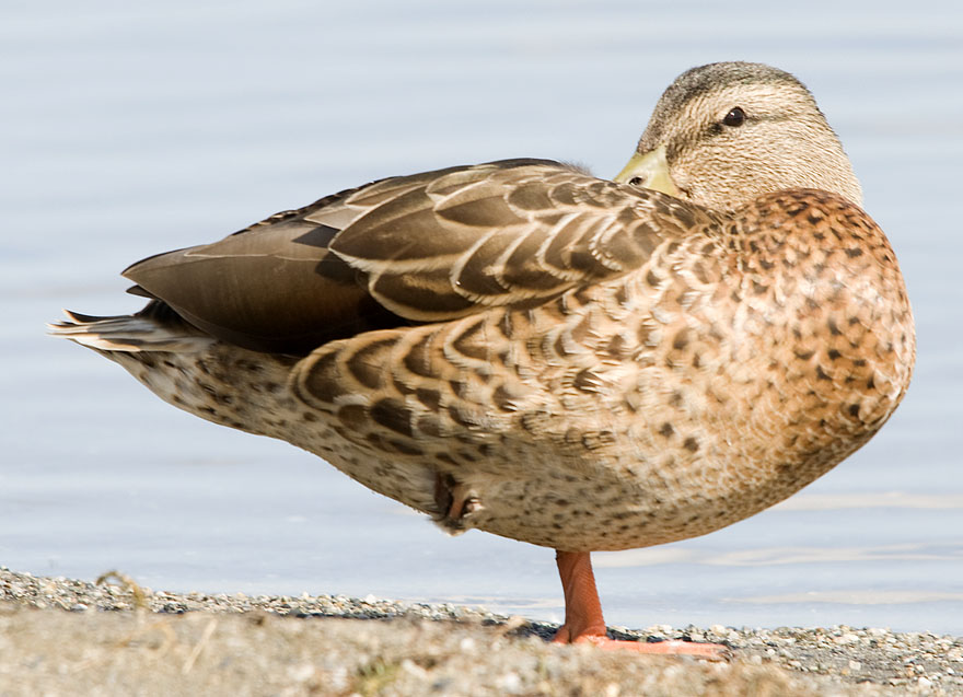
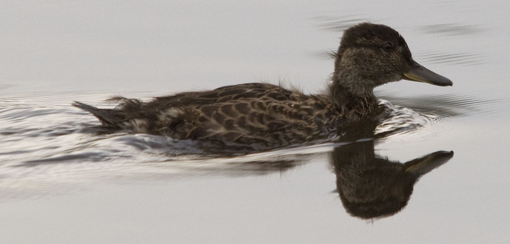
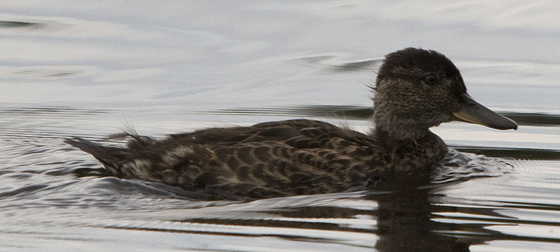
This duck was on the beach at another SRA we drove into to check out.
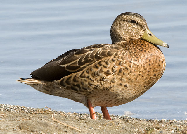
I guess she wasn't that comfortable with me after all as she's put her other foot down.
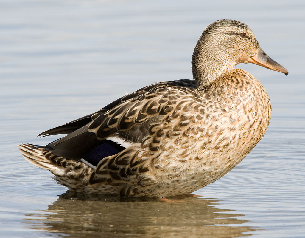
Getting the perfect wild life shot is not easy. This duck is turned some so the lighting is much better, but then she's neither in the water nor on shore which makes the pose a bit goofy. Oh well.
A Lesser Yellow-legs Sandpiper on the dock.
Rika's Roadhouse was a popular stopping point for travelers a hundred years ago. Today, it's a park, a gift shop and a museum.
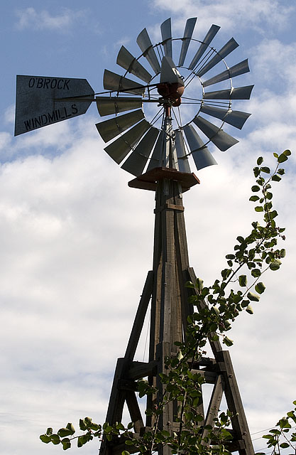
The top half of the wind mill at Rika's Road House
A Least Flycatcher at Rika's. We need more of these little guys!
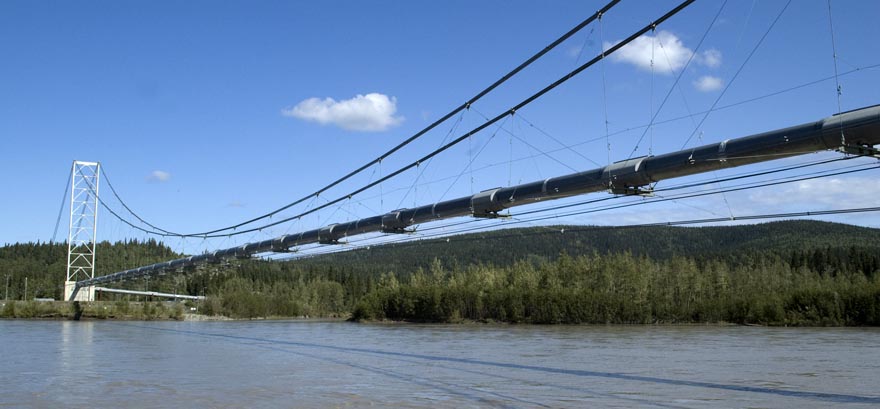
The Alaska Pipeline crosses the Yukon River in spectacular fashion just after Rika's Road House.
A half dozen roadside vista images follow . . .
It didn't take too long for us to discover an issue with our PullRite hitch, especially on the rough roads we've been traveling.
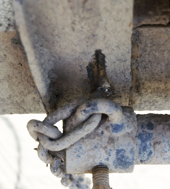
The hitch's weight distribution (W/D) bars also serve to prevent the hitch from pivoting at the ball. They do that by being inserted in sockets in the ball mount and then set screws are tightened against the W/D bar brackets on the trailer A-frame to prevent even a little movement.
This photo shows how the very hard set screws are digging holes in the mild steel brackets. As the wear in the brackets increases, the set screws come loose more frequently. At this point it only takes about 50 miles of bad road before the set screws are loose and I can feel the trailer getting 'loose'.
We've driven the MacKenzie, Liard, Dempster, Taylor and Top of the World Highways so far, but we've got 1,000 of the Dalton to go so we need a fix. We'd just passed our exit at North Pole, Alaska because of road construction so we had to take the next exit and back track. That's when I spotted two very large candy canes on the east side of the road. That was strange because the touristy part of North Pole is on the west side of the highway, so I read the sign "Enterprise Welding". It was Friday afternoon, but why not give it a try so we spun around and pulled into what turned out to be a large operation.
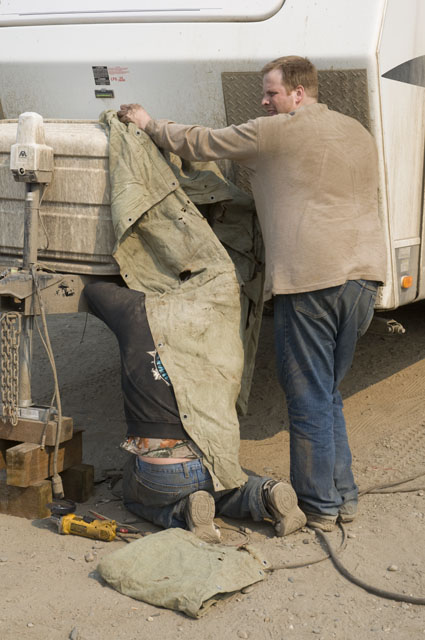
I explained our plight to a foreman & he checked with one of his welders. No problem, bring the trailer around to the side of the shop.
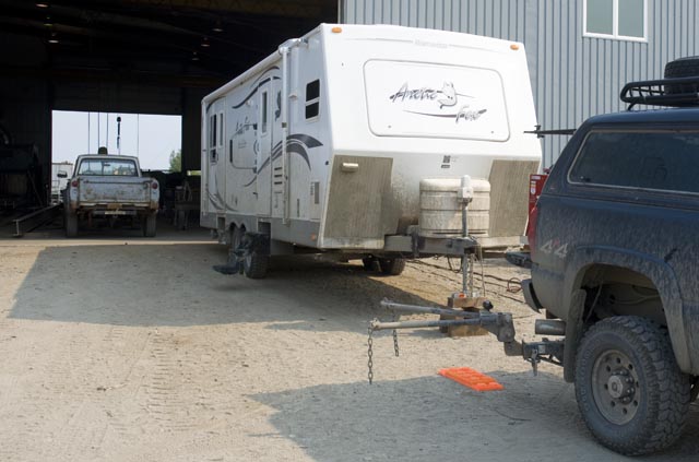
We've backed the trailer up to the shop door and unhitched.
This photo shows the W/D bars sitting in the ball mount of the trailer hitch without being connected to the trailer.
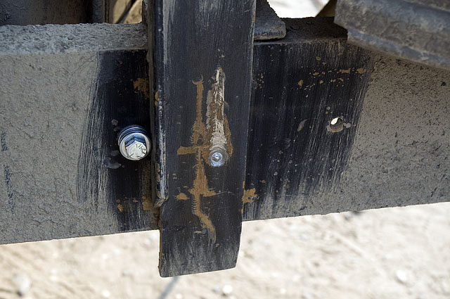
I've cleaned the area with a wire brush to expedite the work. You can see in this photo how much the W/D bars move. The wear from short moves are the result of bumps; the long scrapes are the big moves when we go over frost heaves. Think about it this way - that W/D bar isn't that long yet it moves up and down about 4" when we hit a frost heave. The far ends of the truck and trailer are bobbing up and down a whole lot more than that.
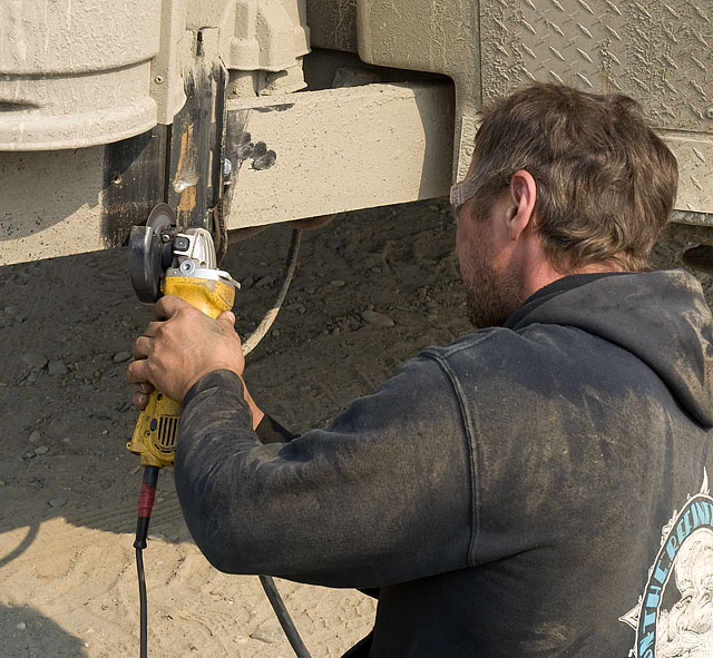
The welder does his preparatory grinding.
I love it when the foreman does helper work. Here he is holding a tarp over the welder so the wind doesn't blow the inert gas away from his TIG weld.
He checks his weld.
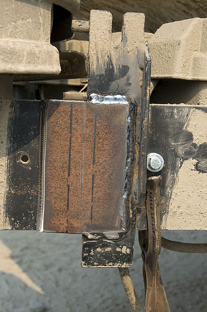
The finished product. A piece of armor plate was bent so the forward edge came down and just touched the frame of the trailer in front of the bracket. They ground a bevel on that edge to help guide the W/D bars up over the edge of the plate onto the brackets. This is a huge improvement in itself as the W/D bars used to bump against the brackets and knock them out of place when we backed the truck up to the trailer. Now the W/D bars will glide over the edge.
The new plate is made from steel that's about twice as hard as the original mild steel brackets. It's still considerably softer than the set screws, but a step in the right direction.

This is a screen capture of our SPOT web page that illustrates our travels since Inuvik.